Search

Search Results

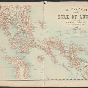
Military map of the Isle of Luzon

event1900

location_onPhilippines

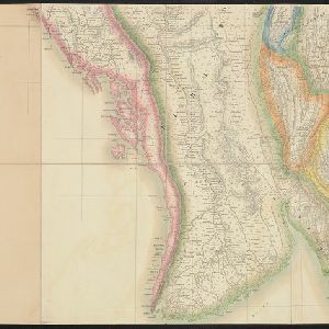
Burma

event1899

location_onMyanmar

Kaart van het gebied bezet in Groot-Atjèh

event1898

location_onIndonesia

Military map of the Isle of Luzon

event1898

location_onPhilippines

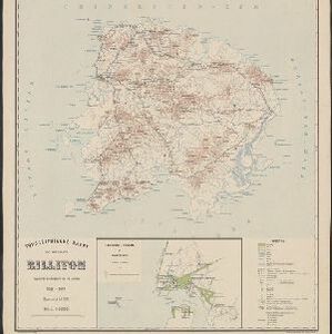
Topographische kaart van het eiland Billiton: vluchtig opgenomen in de jaren 1877-1878

event1894

location_onIndonesia

A map of a part of the Malay Peninsula belonging to Siam: copied from a map of the Siamese government in 1870

event1873

location_onMalaysia

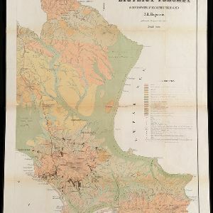
Geognostisch-Mijnbouwkundige Kaart van het Eiland Bangka, Distrikt Toboali

event1872

location_onIndonesia

Map of the Eastern Frontier of British India, with the adjacent countries

event1838

location_onMyanmar, Thailand

close

  • Filter from 1838 to 1900

Current results range from 1838 to 1900