Search

Search Results

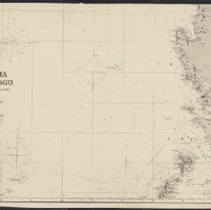
East India Archipelago, western route to China. Chart no. 6

event1882

location_onPhilippines

Two maritime routes—for use during the North-east and ‘fair’ monsoons—are shown on this late 19th century navigation map. The routes lead north through Southeast Asia, passing the Philippines, and ending in Hong Kong. Bathymetry (sea depth) is shown.

Western part of the Java Sea : from Lucipara I. to Sunda Strait and Batavia

event1866

location_onIndonesia

Designed to aid navigation around the western Java Sea, this map features bathymetry (sea depth), current and tide data, and is marked with shoals, reefs and other hazards. Written notes add details at specific locations (e.g. ‘heavy tide rips’).

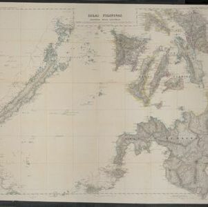
Islas Filipinas. Segunda hoja central

event1852

location_onPhilippines

Produced in Spain, this mid-19th century map details the islands of Visayas, Mindanao and Palawan in the Philippines archipelago. Bathymetry (sea depth) is marked around the islands and on four detailed inset maps of ports in the region.

Reduzirte Karte vom Sunda- oder Borneo-Meere

event1835

location_onIndonesia, Malaysia

A navigation map of the Java Sea and Sunda Islands, with bathymetry (sea depth), maritime routes, shoals and reefs, and elevations (side views of terrestrial landmarks). Inset maps feature the bay at Batavia and the straits between the Sunda Islands.

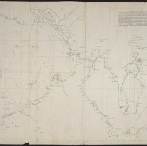
[Manuscript map of Manila Harbor and Bay Lake]

event1810

location_onPhilippines

This early 19th century hand-drawn map of Manila Bay has detailed instructions in Spanish on how to enter the bay, and the port at Cavite. Bathymetry (water depth), the mouths of rivers, and landmark mountains are shown to aid navigation.

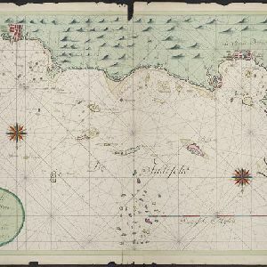
Nieuwe afteekeningh van de Noord Küst van Java vertoonende de reede van Batavia en Bantem

event1740

location_onIndonesia

A map of the northern coast of Java and the important port cities of Batavia (Jakarta) and Bantem (Banten). The web of lines is a rhumbline network, and shoals, reefs and bathymetry (sea depth) are marked, all to aid navigation.

Insulae Iavae pars Occidentalis

eventc.1710-1719

location_onIndonesia

A map of Java with mountains, jungles, animals and crops. Bathymetry (sea depth) is marked, including on an inset map of Batavia harbour. Illustrations include Batavia Castle, and a lion—representing Belgium—receiving tribute and enslaving locals.

close

  • Filter from 1710 to 1882

Current results range from 1710 to 1882