Search

Search Results

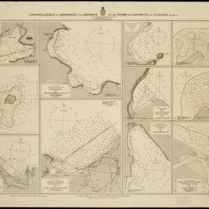
Ankerplaatsen en mondingen van rivieren op de Noord- en Oostkust van Sumatra: Blad I

event1896

location_onIndonesia

Eleven separate maps of bays and river mouths of Sumatra, including two bays on the island on Bras (Breueh Island), and the bay at Kota Radja (Banda Aceh). Bathymetry (sea depth), anchor points, reefs and shoals are marked, along with tide data.

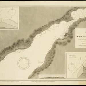
Moluksche archipel: Baai van Amboina

event1895

location_onIndonesia

A map to aid navigation in Ambon Bay, on the island of Ambon in the Maluku Islands: bathymetry (sea depth) and mountains are shown along the coasts, with inset maps of a coal mine pier and Fort Victoria. A second map updates the coal mine pier map.

Algemeene Kaart van Nederlandsch Oostindie

event1842

location_onEast Timor, Indonesia, Malaysia, Singapore

This detailed map of the Dutch East Indies in the mid-19th century is spread over eight sheets, plus a cover sheet showing the whole area. There are numerous inset maps of islands, bays, cities etc.

Algemeene kaart van Nederlandsch Oostindie

eventc.1839-1855

location_onEast Timor, Indonesia, Malaysia, Singapore

This map of the Dutch East Indies is spread over eight sheets, with a hand-drawn cover sheet showing the whole area. There are numerous inset maps of islands, bays, cities etc. Two of the inset maps have a replacement map pasted over them.

close

  • Filter from 1839 to 1896

Current results range from 1839 to 1896