Search

Search Results

A map of the Malay Peninsula

event1898

location_onMalaysia, Singapore, Thailand

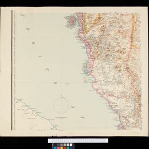
Map of the Malay Peninsula showcasing the Straits Settlements in pink, the Federated Malay States in red, and Siamese states in yellow. A table of common words in English, Malay and Siamese is included. Only four of six sheets are available.

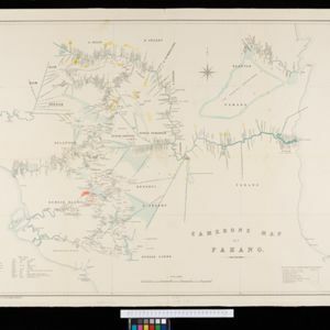
Cameron's map of Pahang

event1889

location_onMalaysia

A map of the Malayan states of Pahang and Selangor, showing the rivers, mines (gold, tin, sulphur, shale) and mining companies in the region. There is also a list translating Malay terms used on the map into English.

Map of the Malay Peninsula 1879

event1879

location_onMalaysia, Singapore, Thailand

Six-sheet map of the Malay Peninsula, featuring settlements, mountains and rivers. Labels note names of indigenous peoples, or describe terrain/resources. There is an inset map of Singapore town, and the Straits Settlements are highlighted in red.

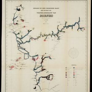
Bijdrage tot eene geologische kaart der residentie Westerafdeeling van Borneo

event1858

location_onIndonesia

A geological map of western Borneo made by a mine engineer, showing the types of soil, coal, clay, and rock (limestone, sandstone, granite, basalt), as well as gold, diamonds, tin, copper and iron found along the rivers.

close

  • Filter from 1858 to 1898

Current results range from 1858 to 1898