Search

Search Results

Asia: corrected from the observations communicated to the Royal Society at London and the Royal Academy at Paris

event1708

location_onBrunei, Cambodia, East Timor, Indonesia, Laos, Malaysia, Myanmar, Philippines, Singapore, Southeast Asia, Thailand, Vietnam

An early 18th century map of Asia by the English cartographer John Senex, featuring labels noting details of the inhabitants of some areas e.g. on Borneo: ‘The Middle of this Isle is Inhabited by a People call’d Beaujous Idolaters’.

Asia corrected from the observation communicated to the Royal Society at London and the Royal Academy at Paris

event1713

location_onBrunei, Cambodia, East Timor, Indonesia, Laos, Malaysia, Myanmar, Philippines, Singapore, Southeast Asia, Thailand, Vietnam

This early 18th century map of Asia features a drawing of a woman burning offerings on an altar, while two children carry cornucopias, and a camel looks on. The Roman god Mercury descends from the sky in the background wearing his winged helmet.

Asia corrected from the observation communicated to the Royal Society at London and the Royal Academy at Paris

eventc.1714

location_onBrunei, Cambodia, East Timor, Indonesia, Laos, Malaysia, Myanmar, Philippines, Singapore, Southeast Asia, Thailand, Vietnam

This early 18th century map of Asia features a drawing of a woman burning offerings on an altar, while two children carry cornucopias, and a camel looks on. The Roman god Mercury descends from the sky in the background wearing his winged helmet.

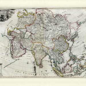
Asia: corrected from the observations communicated to the Royal Society at London and the Royal Academy at Paris

event1725

location_onBrunei, Cambodia, East Timor, Indonesia, Laos, Malaysia, Myanmar, Philippines, Singapore, Southeast Asia, Thailand, Vietnam

An early 18th century map of Asia by the English cartographer John Senex, featuring labels noting details of the inhabitants of some areas e.g. on Borneo: ‘The Middle of this Isle is Inhabited by a People call’d Beaujous Idolaters’.
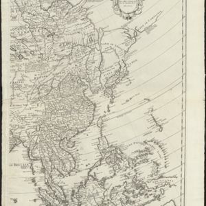
An Accurate Map of the East Indies from the latest Improvements and Regulated by Astronomical Observations

event1777

location_onBrunei, Indonesia, Malaysia, Cambodia, Laos, Myanmar, Singapore, Thailand, Vietnam

The ancient kingdoms of mainland Southeast Asia are shown on this 18th century map, including Ava and Pegu (Myanmar), Siam (Thailand), Tonquin (Vietnam), Laos and—between Cochin China (Vietnam) and Camboja (Cambodia)—‘A Savage Nation called KEMOYS’.

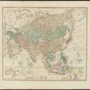
Bowles's new one-sheet map of Asia, divided into its empires, kingdoms, states, and other subdivisions

event1795

location_onBrunei, Cambodia, East Timor, Indonesia, Laos, Malaysia, Myanmar, Papua New Guinea, Philippines, Singapore, Southeast Asia, Thailand, Vietnam

A late 18th century map of Asia published in London by John Bowles, with regions indicated by colour. Central Borneo is labelled ‘Part inhabited by the Biayos’, which is seen on many contemporary maps, often with the comment ‘a savage people’.

Map of the Malay Peninsula 1879

event1879

location_onMalaysia, Singapore, Thailand

Six-sheet map of the Malay Peninsula, featuring settlements, mountains and rivers. Labels note names of indigenous peoples, or describe terrain/resources. There is an inset map of Singapore town, and the Straits Settlements are highlighted in red.

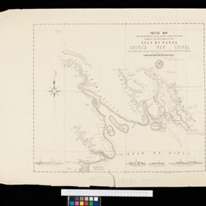
Sketch map shewing the rivers and an outline of the coast... Gulf of Papua, British New Guinea

event1892

location_onPapua New Guinea

Map of part of the west coast of the Gulf of Papua, with islands, river mouths, shoals, bathymetry (water depth), notes to aid navigation. On land, notes on terrain (‘Limestone Hill’), vegetation (‘Pandanus & Nipa Palms’) and people (‘Paia Tribe’).

close