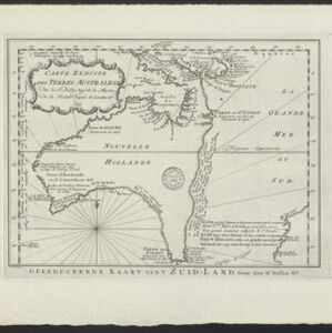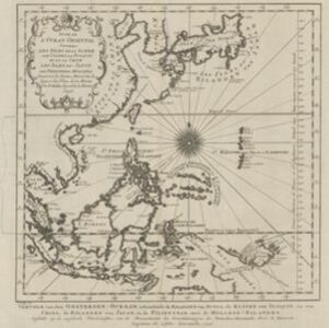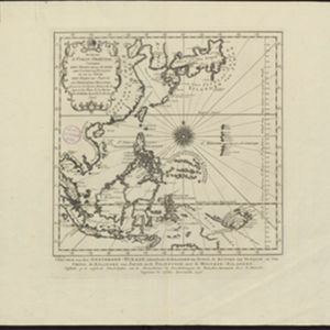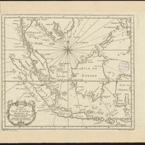
Carte des Isles de Java, Sumatra, Borneo &a. Les détroits de la Sonde, Malaca et Banca, Golfe de Siam &a.
1773
Brunei, Cambodia, Indonesia, Malaysia, Singapore, Thailand, Vietnam, Philippines
This map shows the islands of Java, Sumatra and Borneo, the straits of Sunda, Malacca and Bangka, and the Gulf of Siam. The points of the compass can be seen radiating out from a central compass rose.