
Search Results


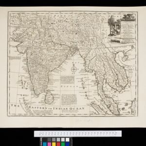


A map of the East-Indies and the adjacent countries: with the settlements, factories and territories, explaning what belongs to England, Spain, France, Holland, Denmark, Portugal &c.
c.1720
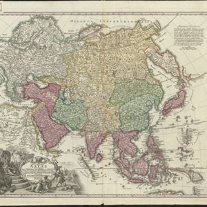
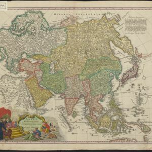
Brunei, Cambodia, East Timor, Indonesia, Laos, Malaysia, Myanmar, Philippines, Singapore, Southeast Asia, Thailand, Vietnam
- Cambodia33
- Indonesia33
- Laos33
- Malaysia33
- Singapore33
- [remove]Thailand33
- Vietnam33
- Brunei32
- East Timor32
- Myanmar32
- Philippines32
- Southeast Asia32
- more Simple Location »
- [remove]Wild Animals33
- Mountain/Volcano22
- Jungle/Wooded Area8
- [remove]Illustration33
- Cartouche31
- Coat of Arms3
- Inset Map3
- [remove]Compass Rose33
- Longitude and Latitude32
- Scale24
- Written Note/Details24
- Rhumbline Network13


