Search

Search Results

Reduzirte Karte von den Philippinen und den Sulu Inseln

event1884

location_onPhilippines, Malaysia, Indonesia

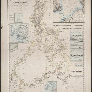
Maritime map of the Philippines, with inset maps of bays showing bathymetry (sea depth), shoals, reefs and anchor points. There is also an inset map of Taal Volcano, and elevations (side views of terrestrial landmarks like mountains and islands).

Algemeene kaart van Nederlandsch Indië

event1879

location_onCambodia, Indonesia, Papua New Guinea, East Timor, Southeast Asia, Thailand, Malaysia, Philippines, Laos, Vietnam, Singapore, Brunei, Myanmar

A late 19th century map of the Dutch East Indies on four sheets, detailing maritime routes around the region. There are also inset maps showing railways, rivers, roads, and telegraph systems, as well as individual islands and cities.

Nederlandsch Oost-Indië

event1865

location_onBrunei, Cambodia, East Timor, Indonesia, Laos, Malaysia, Myanmar, Vietnam, Thailand, Southeast Asia, Singapore, Philippines, Papua New Guinea

This detailed map of the Dutch East Indies in the mid-19th century contains a great deal of information: topographical details, settlements and administrative areas, roads, railways and maritime routes, telegraph lines, inset maps etc.

Chart of the China Sea

event1864

location_onPapua New Guinea, Indonesia, Malaysia, Cambodia, East Timor, Philippines, Singapore, Thailand, Vietnam

To aid navigation, this map shows small islands, shoals and reefs, maritime routes for use during monsoons or at particular times of the year, bathymetry (sea depth), tide information, shipwrecks, compass roses and landmark mountains at the coasts.

Reduzirte Karte von den Philippinen und den Sulu Inseln

event1832

location_onMalaysia, Indonesia, Philippines

Maritime map of the Philippines, with inset maps of bays showing bathymetry (sea depth), shoals, reefs and anchor points. There is also an inset map of Taal Volcano, and elevations (side views of terrestrial landmarks like mountains and islands).

Bowles's new one-sheet map of Asia, divided into its empires, kingdoms, states, and other subdivisions

event1795

location_onBrunei, Cambodia, East Timor, Indonesia, Laos, Malaysia, Myanmar, Papua New Guinea, Philippines, Singapore, Southeast Asia, Thailand, Vietnam

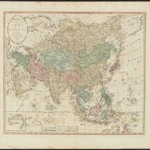
A late 18th century map of Asia published in London by John Bowles, with regions indicated by colour. Central Borneo is labelled ‘Part inhabited by the Biayos’, which is seen on many contemporary maps, often with the comment ‘a savage people’.

Nova Totius Asiae Tabula

eventc.1750

location_onBrunei, Cambodia, East Timor, Indonesia, Laos, Malaysia, Myanmar, Philippines, Singapore, Southeast Asia, Thailand, Vietnam

This elaborately illustrated map of Asia is decorated with images of angels and cherubs, various figures dressed in colourful robes, wild animals, a procession including elephants and camels, and a double hemisphere world map.

Partie de la nouvelle grande carte des Indes Orientales, contenant les isles Maldives, Ceylan, Malacca, Sumatra... les isles de Borneo, Iava, Celebes, Mindanao

eventc.1750

location_onBrunei, East Timor, Indonesia, Malaysia, Papua New Guinea, Philippines, Singapore

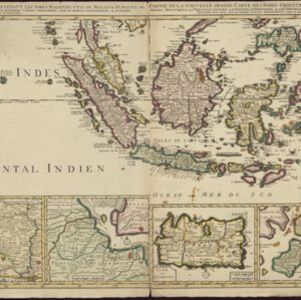
Map of maritime Southeast Asia, with four inset maps of locations in the region: Surabaya, some of the Lesser Sumba Islands, and Buton and Muna islands of the coast of Sulawesi. Mountains, forests, settlements and fields are represented pictorially.

Insulae Philippinae

event1748

location_onPhilippines, Malaysia

A mid-18th century map of the Philippines archipelago, with an inset plan of the city of Manila and Pasig River. The cartouche features a drawing of an Asian and a Western man taking part in a cockfight, with a crocodile in the foreground.

Charte von Ost-Indien und den angroentzenden Laendern

event1737

location_onBrunei, Cambodia, East Timor, Indonesia, Laos, Malaysia, Myanmar, Philippines, Singapore, Southeast Asia, Thailand, Vietnam

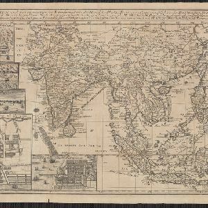
The London-based cartographer Herman Moll (1654?–1732) created this map of Asia in the early 18th century. There are five insets showing Asian trading cities, including of the ports of Batavia (Jakarta) and Bantam (Banten) in western Java.

Carte nouvelle de la Mer du Sud

event1730

location_onEast Timor, Indonesia, Papua New Guinea, Philippines, Vietnam

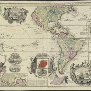
This elaborately illustrated map of the Atlantic and Pacific Oceans includes the eastern islands of Southeast Asia. The routes of five expeditions west across the Pacific are marked, including that of Ferdinand Magellan to the Philippines in 1520.

L'Asie dressée sur les observations de Mrs. de l'Academie Royale de Sciences

event1730

location_onBrunei, Cambodia, East Timor, Indonesia, Laos, Malaysia, Myanmar, Philippines, Singapore, Southeast Asia, Thailand, Vietnam

This map features maritime routes: between Siam and Batavia; and five routes of the explorers Juan Gaetan and Olivier du Nord (dated 1542) east of the Philippines. The cartouche has a colourful illustration of Asian people in traditional costume.

close