Search

Search Results

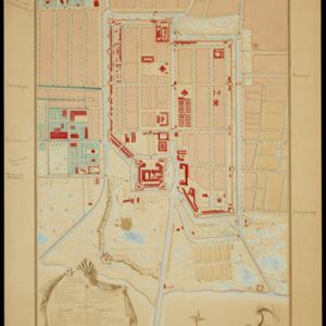
Copie no. 2: Plan van den stadt en het casteel van Batavia met een gedeeltevan deszelfs voorsteeden en verdere buijtenplaatse ao 1762

event1898

location_onIndonesia

A hand-drawn and coloured plan of the important port city of Batavia (Jakarta), with a detailed legend identifying parts of the city, castle and suburbs. Handwritten notes around the border give the names of roads. Copied from a 1764 map.

Plan of the town and suburbs of Rangoon

eventc.1895-1897

location_onMyanmar

Detailed plan of the city of Rangoon (Yangon, Myanmar) with commercial, religious, government and military buildings, surrounded by lakes, fields of crops and villages. Someone has drawn details on the map of areas that have undergone ‘levelling’.

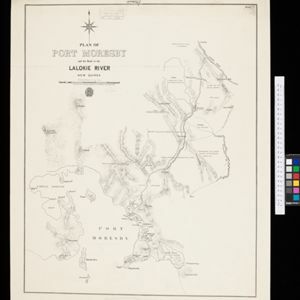
Plan of Port Moresby and the road to the Lolokie River: New Giunea

event1887

location_onPapua New Guinea

This map focuses on the capital city of British New Guinea, Port Moresby, and the road heading north-east from the city to the Laloki River. Along the road, there are descriptions of the terrain (‘Open flat fairly grasses timbered with bastard Gum’).

Algemeene kaart van Nederlandsch Indië

event1879

location_onCambodia, Indonesia, Papua New Guinea, East Timor, Southeast Asia, Thailand, Malaysia, Philippines, Laos, Vietnam, Singapore, Brunei, Myanmar

A late 19th century map of the Dutch East Indies on four sheets, detailing maritime routes around the region. There are also inset maps showing railways, rivers, roads, and telegraph systems, as well as individual islands and cities.

Nederlandsch Oost-Indië

event1865

location_onBrunei, Cambodia, East Timor, Indonesia, Laos, Malaysia, Myanmar, Vietnam, Thailand, Southeast Asia, Singapore, Philippines, Papua New Guinea

This detailed map of the Dutch East Indies in the mid-19th century contains a great deal of information: topographical details, settlements and administrative areas, roads, railways and maritime routes, telegraph lines, inset maps etc.

Map of Prince of Wales' Island or Pulo Penang and province Wellesley

event1853

location_onMalaysia

Map of the Penang Strait, including written instructions on how to navigate the strait. On land, areas of cultivation are marked, with a table listing acreage used for each crop. A boundary with Siam based on an 1831 treaty is also shown.

Algemeene Kaart van Nederlandsch Oostindie

event1842

location_onEast Timor, Indonesia, Malaysia, Singapore

This detailed map of the Dutch East Indies in the mid-19th century is spread over eight sheets, plus a cover sheet showing the whole area. There are numerous inset maps of islands, bays, cities etc.

Singapore harbours and roads with the adjacent channels

event1840

location_onSingapore

An early 19th century map of Singapore’s southern coast and islands, with bathymetry (sea depth), shoals and reefs, anchor points, and notes to aid navigation. The roads and main buildings of Singapore city are also shown.

Algemeene kaart van Nederlandsch Oostindie

eventc.1839-1855

location_onEast Timor, Indonesia, Malaysia, Singapore

This map of the Dutch East Indies is spread over eight sheets, with a hand-drawn cover sheet showing the whole area. There are numerous inset maps of islands, bays, cities etc. Two of the inset maps have a replacement map pasted over them.

Der Hollaendisch-Ostindianischen Compagnie weltberühmte Haupt-Handels und Niederlags: Stadt Batavia

event1747

location_onIndonesia

The legend and written notes on this plan of Batavia (Jakarta) provide much detailed information about the important port city in the early 18th century. It is also beautifully decorated with paintings of the city, local people, animals and ships.

Der Hollaendisch-Ostindianischen Compagnie weltberühmte Haupt-Handels und Niederlags: Stadt Batavia

event1733

location_onIndonesia

The legend and written notes on this plan of Batavia (Jakarta) provide much detailed information about the important port city in the early 18th century. It is also beautifully decorated with paintings of the city, local people, animals and ships.

close