Search

Search Results

Zuidelijk gedeelte van Straat Malaka

event1899

location_onIndonesia

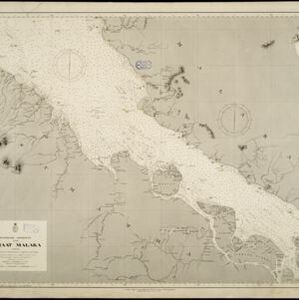
Navigation map of the southern part of the Strait of Malacca. Bathymetry (sea depth), lighthouses (in red and yellow), shoals and other obstructions (clay, coral, mud, rocks, shells, stones, sand) are marked, with hills to use as landmarks.

Westkust Sumatra: Padang tot Vlakkehoek

event1898

location_onIndonesia

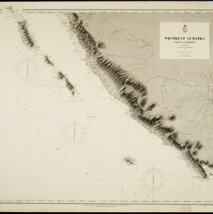
Navigation map of the west coast of Sumatra, including the cities of Padang and Bengkulu, and the Mentawai islands. Bathymetry (sea depth), lighthouses, shoals and other obstructions are marked, with hills and settlements to use as landmarks.

Westkust Sumatra: Melaboe tot Singkel

event1898

location_onIndonesia

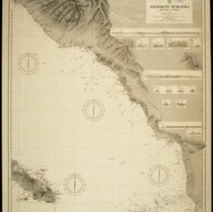
Navigation map of the northwest coast of Sumatra. Bathymetry (sea depth), anchor points, shoals and other obstructions (clay, coral, mud, stones, sand) are marked, with hills and settlements to use as landmarks.

Westkust Celebes: Vaarwaters benoorden Makasser: Blad II

event1898

location_onIndonesia

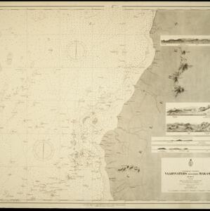
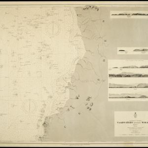
Navigation map of the west coast of Celebes (Sulawesi), north of Makassar. Bathymetry (sea depth), shoals and other obstructions are marked, with hills and settlements as landmarks, and elevations (side views of hills) to aid navigation.
Westkust Celebes: Vaarwaters benoorden Makasser: Blad I

event1898

location_onIndonesia

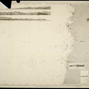
Navigation map of the west coast of Celebes (Sulawesi), north of Makassar. Bathymetry (sea depth), lighthouses, shoals and other obstructions are marked, with trees and hills as landmarks, and elevations (side views of hills) to aid navigation.
Westkust Celebes: Vaarwaters benoorden Makasser: Blad III

event1898

location_onIndonesia

Navigation map of the west coast of Celebes (Sulawesi), north of Makassar. Bathymetry (sea depth), shoals and other obstructions are marked, with hills and settlements as landmarks, and elevations (side views of hills) to aid navigation.
Vaarwaters en ankerplaatsen op de Zuidkust van Celebes

event1896

location_onIndonesia

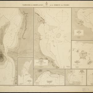
Eight navigation maps from around the south coast of Celebes (Sulawesi). Anchorages, roadsteads (bodies of water sheltered from tides/currents), bathymetry (sea depth), shoals and other obstructions are shown, with hills and settlements as landmarks.

Kaart van het Eyland Bali

event1726

location_onIndonesia

On this map of Bali (and parts of Java and Lombok), mountains, trees, fields and settlements are shown pictorially. The coasts are marked with shoals (dots), reefs (crosses), bathymetry (sea depth, in figures) and anchor points (anchor symbols).

Borneo Insula

event1706

location_onMalaysia, Indonesia

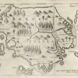
An early map of the island of Borneo, depicting the natural landscape of mountains, forests, rivers and shoals, and also evidence of human habitation with houses representing settlements.

Borneo Insula

event1602

location_onMalaysia, Indonesia

An early map of the island of Borneo, depicting the natural landscape of mountains, forests, rivers and shoals, and also evidence of human habitation with houses representing settlements, and a port and shipping route along the northern coast.

close

  • Filter from 1602 to 1899

Current results range from 1602 to 1899