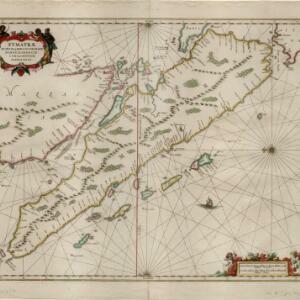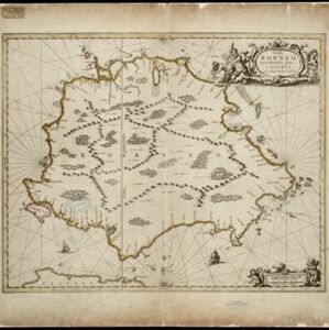
Insula Borneo et occidentalis pars Celebis cum adjacentibus insulis
1657
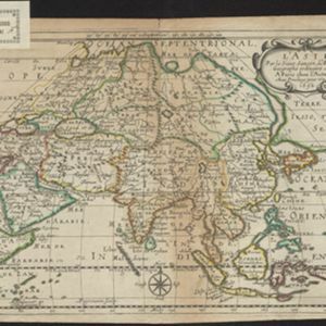
Indonesia
The orientation of this map is unusual, with north to the right, so the west coast of Borneo is at the top. Its cartouche is decorated with drawings of seafaring people, and the scale with cherubs playing with cartography tools such as callipers.