Search

Search Results

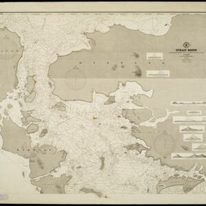
Straat Riouw: Trigonometrisch opgenomen door het Engelsche opnemings vaartuig

event1894

location_onIndonesia

Navigation map of the Riau Strait between Batam, Bintan and Rempang (Riau Archipelago). Bathymetry (sea depth), lighthouses, bouys, currents and obstructions are marked. There are side views of islands and mountains (elevations) to use as landmarks.

A map of British North Borneo

event1894

location_onMalaysia, Brunei, Indonesia

The colonial territories of British North Borneo are shown in pink on this late 19th century map, with Brunei and Sarawak in green, and Dutch colonial territory in yellow. Sea routes around the British Empire are depicted on an inset map.

Zuidelijk gedeelte van de Chineesche zee: Blad I

event1893

location_onMalaysia, Indonesia, Singapore

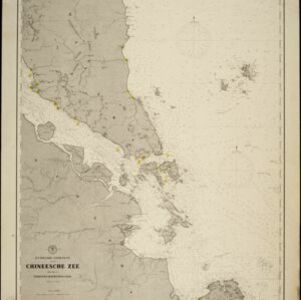
Navigation map of the southern part of the South China Sea, including the straits of Malacca and Singapore, and the Riau Archipelago. Bathymetry (sea depth), lighthouses, shoals and other obstructions are marked, with hills to use as landmarks.

Noordwestkust Sumatra: Van Roesa to de Bocht van Pedir

event1893

location_onIndonesia

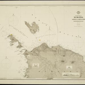
A navigation map of the northern tip of Sumatra, featuring bathymetry (sea depth), reefs, shoals, and side views of landmark mountains (elevations). Lighthouses are highlighted in red and yellow, with lines to indicate the limits of their range.

Sumatra Oostkust: Monden der Koealoe en Panei rivieren

event1892

location_onIndonesia

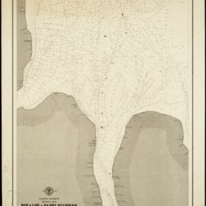
Navigation map of the mouths of the Koealoe (Kualu) and Panei (Barumun and Bila) rivers on the east coast of Sumatra. Large sand and mud banks, bathymetry (sea depth), bouys and currents are marked. On land, tall trees are shown to use as landmarks.

Schetskaart der afdeeling Westkust van Atjeh

event1888

location_onIndonesia

From a Dutch geographical society journal, this map of the west coast of Atjeh (Aceh), Sumatra, shows shoals, reefs, bathymetry (sea depth) and anchor points. On land, there are mountains (with heights), rivers, pepper plantations and rice fields.

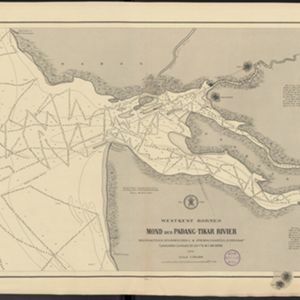
Westkust Borneo: Mond der Padang-Tikar rivier

event1884

location_onIndonesia

Navigation map of the mouth of the Padang Tikar River, on the west coast of Borneo, featuring bathymetric (water depth) routes. Obstructions are marked with letters: ‘m’ (mud), ‘z’ (sand). Trees, hills and fishermen’s houses are shown as landmarks.

New chart of Sunda Straits

event1883

location_onIndonesia

A map documenting the effects of the Krakatoa volcanic eruption, detailing the destruction of part of the Krakatoa Island and damage to surrounding areas. Created by a ship’s captain who passed through the Sunda Strait five days after the eruption.

Western part of the Java Sea : from Lucipara I. to Sunda Strait and Batavia

event1866

location_onIndonesia

Designed to aid navigation around the western Java Sea, this map features bathymetry (sea depth), current and tide data, and is marked with shoals, reefs and other hazards. Written notes add details at specific locations (e.g. ‘heavy tide rips’).

Nederlandsch Oost-Indië

event1865

location_onBrunei, Cambodia, East Timor, Indonesia, Laos, Malaysia, Myanmar, Vietnam, Thailand, Southeast Asia, Singapore, Philippines, Papua New Guinea

This detailed map of the Dutch East Indies in the mid-19th century contains a great deal of information: topographical details, settlements and administrative areas, roads, railways and maritime routes, telegraph lines, inset maps etc.

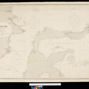
China Sea: Strait of Macassar to Celebes Sea

event1864

location_onIndonesia

Navigation map of the Celebes Sea, Makassar Strait and Java Sea, with bathymetry (sea depth), maritime routes, shoals and reefs, and landmark coastal mountains to aid navigation. On two sheets, which may not be from the same original map.

close