Search

Search Results

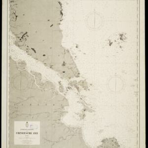
Zuidelijk gedeelte van de Chineesche zee: Blad I

event1899

location_onMalaysia, Singapore, Indonesia

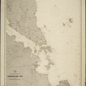
Zuidelijk gedeelte van de Chineesche zee: Blad I

event1893

location_onMalaysia, Indonesia, Singapore

New sketch map of the protected Malay State of Perak

event1892

location_onMalaysia

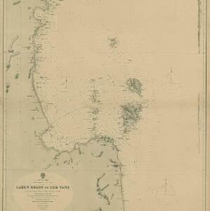
Gulf of Siam: Malay Peninsula - East Coast. Lakon Roads to Lem Tane

event1880

location_onThailand

Nederlandsch Oost-Indië

event1865

location_onBrunei, Cambodia, East Timor, Indonesia, Laos, Malaysia, Myanmar, Vietnam, Thailand, Southeast Asia, Singapore, Philippines, Papua New Guinea

Chart of the China Sea

event1864

location_onPapua New Guinea, Indonesia, Malaysia, Cambodia, East Timor, Philippines, Singapore, Thailand, Vietnam

Map of Prince of Wales' Island or Pulo Penang and province Wellesley

event1853

location_onMalaysia

Algemeene Kaart van Nederlandsch Oostindie

event1842

location_onEast Timor, Indonesia, Malaysia, Singapore

Algemeene kaart van Nederlandsch Oostindie

eventc.1839-1855

location_onEast Timor, Indonesia, Malaysia, Singapore

A new chart of the Straits of Malacca

event1830

location_onMalaysia, Indonesia, Singapore

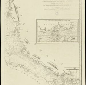
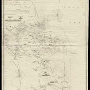
To James Carnegy and Robert Scott Esqrs. of Prince of Wales Island... this Chart of the Islands and Channels at the Southwest Extremity of the China Sea

event1824

location_onMalaysia, Singapore, Indonesia

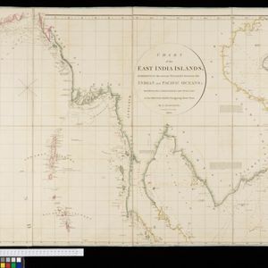
Chart of the East India Islands: exhibiting the several passages between the Indian and Pacific Oceans

event1824

location_onBrunei, Cambodia, East Timor, Indonesia, Malaysia, Philippines, Singapore, Thailand, Vietnam, Southeast Asia, Myanmar

close