Search

Search Results

Carta dello stretto della Sonda, ed isole vicine

event1781

location_onBrunei, Cambodia, Indonesia, Malaysia, Myanmar, Philippines, Singapore, Thailand, Vietnam

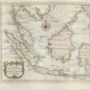
A late 18th century map of maritime Southeast Asia by the French geographer Jacques Nicolas Bellin (1703–1772). The title refers to the ‘Stretto della Sonda’ (Sunda Strait), the strait between the islands of Sumatra and Java.

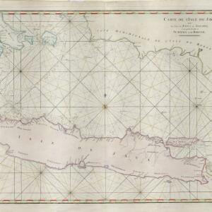
Carte de l'Isle de Java, avec les isles de Banca, de Billiton, et une partie de celles de Sumatra et de Borneo

event1775

location_onIndonesia

This 18th century maritime navigation map charts the waters between the islands of Java, Sumatra and Borneo. A route south towards the Sunda Strait, as taken by the French ship Mascarin in March and April 1772, is highlighted.

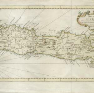
Nouvelle Carte de l'isle de Java

eventc.1772-1780

location_onIndonesia

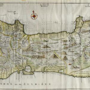
On this map of Java, mountains are shown pictorially and labelled with their name. The coasts are marked with shoals, reefs, bathymetry (sea depth, in figures) and anchor points. The land is divided into administrative districts.

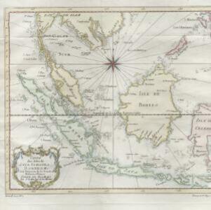
Carte des Isles de Java, Sumatra, Borneo &a. Les detroits de la Sunde, Malaca, et Banca, Golfe de Siam &a.

eventc.1772-1780

location_onBrunei, Cambodia, Indonesia, Malaysia, Philippines, Singapore, Thailand, Vietnam

This map shows the islands of Java, Sumatra and Borneo, the straits of Sunda, Malacca and Bangka, and the Gulf of Siam. The title is given in both French and Dutch, as are some of the place names on the map.

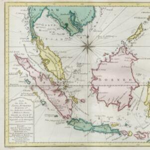
Carte des Isles de Java, Sumatra, Borneo &c. Les détroits de la Sonde, Malaca et Banca, Golfe de Siam &c.

event1764

location_onBrunei, Cambodia, Indonesia, Malaysia, Singapore, Thailand, Vietnam, Philippines

This map shows the islands of Java, Sumatra and Borneo, the straits of Sunda, Malacca and Bangka, and the Gulf of Siam. The points of the compass can be seen radiating out from a central compass rose.

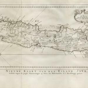
Nouvelle Carte de l'isle de Java

eventc.1746-1770

location_onIndonesia

On this map of Java, mountains are shown pictorially and labelled with their name. The coasts are marked with shoals, reefs, bathymetry (sea depth, in figures) and anchor points. The land is divided into administrative districts.

Particular-see-charte der Strass Sunda, nebst denen darinnen befindlichen insulen und sandbäncken

event1744

location_onIndonesia

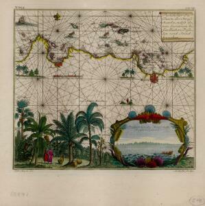
A navigation map of part of the north coast of Java, featuring the ports of Batavia (Jakarta) and Bantam (Serang). Includes colourful paintings of a ‘menschen fressers [cannibal]’ island, Javanese people and palm trees (dates, banana, coconut).

Nieuwe en zeer naaukeurige kaart van t eyland Java Major of Groot Java: verdeeld in seven byzondere bestekken

event1728

location_onIndonesia

On this beautifully illustrated and coloured map of Java, mountains, trees, fields of crops and settlements are shown pictorially. The coasts are marked with shoals, reefs, bathymetry (sea depth, in figures) and anchor points.

Insulae Iavae pars Occidentalis

event1728

location_onIndonesia

A map of Java with mountains, jungles, animals and crops. Bathymetry (sea depth) is marked, including on an inset map of Batavia harbour. Illustrations include Batavia Castle, and a lion—representing Belgium—receiving tribute and enslaving locals.

A new and correct chart of part of the island of Java from the west end to Batavia with the Streights of Sunda

event1711

location_onIndonesia

This early 18th century maritime map charts the waters of the Straits of Sunda, between the islands of Java and Sumatra. The web of lines is a rhumbline network, while the numbers indicate sea depth (bathymetry), both used to aid navigation.

Carta particolare del stretto di Sunda fra l'Isole di Sumatra é Iaua maggre

event1661

location_onIndonesia

This mid-17th century Italian map is from Sir Robert Dudley's atlas ‘Dell'arcano del Mare’. It shows the Sunda Strait (‘Stretto di Sunda’) between the Southeast Asian islands of Sumatra and Java. Text on the map refers to currents (‘Corrente’).
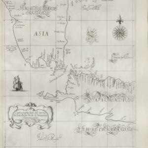
Carta particolare del mare d'India sino allo stretto di Sunda fra l'Isole di Sumatra è di Iaua maggre

event1646

location_onIndonesia

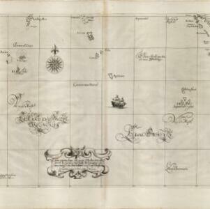
Apart from some small islands, this mid-17th century Italian map of the Indian Ocean features no land other than the islands of Sumatra and Java in the top right corner. Text on the map refers to winds (‘Venti’) and currents (‘Corrente’).

close

  • Filter from 1646 to 1781

Current results range from 1646 to 1781