Search

Search Results

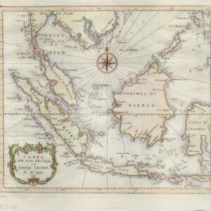
Carta dello stretto della Sonda, ed isole vicine

event1781

location_onBrunei, Cambodia, Indonesia, Malaysia, Myanmar, Philippines, Singapore, Thailand, Vietnam

A late 18th century map of maritime Southeast Asia by the French geographer Jacques Nicolas Bellin (1703–1772). The title refers to the ‘Stretto della Sonda’ (Sunda Strait), the strait between the islands of Sumatra and Java.

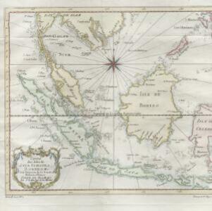
Carte des Isles de Java, Sumatra, Borneo &c. Les détroits de la Sonde, Malaca et Banca, Golfe de Siam &c.

event1764

location_onBrunei, Cambodia, Indonesia, Malaysia, Singapore, Thailand, Vietnam, Philippines

This map shows the islands of Java, Sumatra and Borneo, the straits of Sunda, Malacca and Bangka, and the Gulf of Siam. The points of the compass can be seen radiating out from a central compass rose.

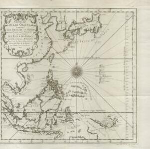
Suite de l'Ocean Oriental contenant les Isles de la Sonde, les costes de Tunquin et de la Chine, les isles du Japon, les Philippines, Moluques

event1746

location_onBrunei, Cambodia, East Timor, Indonesia, Malaysia, Papua New Guinea, Philippines, Singapore, Thailand, Vietnam, Southeast Asia

The coast of New Guinea (‘Nouvelle Guinée’) is represented in part by a dotted line on this mid-18th century map, indicating that the exact coastlines were unknown at this time. The western tip is labelled ‘C. de Bonne Esperance [Cape of Good Hope]’.

Les isles Philippines et celles des Larrons ou de Marianes, les isles Moluques et de la Sonde, avec la presqu'isle de l'Inde de la le Gange ou orientale

event1706

location_onBrunei, Cambodia, East Timor, Indonesia, Laos, Malaysia, Myanmar, Philippines, Singapore, Southeast Asia, Thailand, Vietnam

This early 18th century map of Southeast Asia includes a list detailing the location (latitude and longitude) of seven important cities in the region: Batavia, Achem, Camboya, Siam, Borneo, Macaçar and Manilla.

Les isles Philippines et celles des Larrons ou de Marianes, les isles Moluques et de la Sonde, avec la presqu'isle de l'Inde de la le Gange ou orientale

event1705

location_onBrunei, Cambodia, East Timor, Indonesia, Laos, Malaysia, Myanmar, Philippines, Singapore, Southeast Asia, Thailand, Vietnam

This early 18th century map of Southeast Asia includes a list detailing the location (latitude and longitude) of seven important cities in the region: Batavia, Achem, Camboya, Siam, Borneo, Macaçar and Manilla.

Les vrays Indes dits Grands Indes ou Indes Orientales

event1705

location_onCambodia, Indonesia, Laos, Malaysia, Myanmar, Singapore, Thailand, Vietnam

Notes on the back of this map describe the kingdoms of mainland Southeast Asia: religion (people are idolaters, a few Christians and Jews, many Muslims), royalty (kings are rich, people are unhappy) and geography (rivers render the lands fertile).

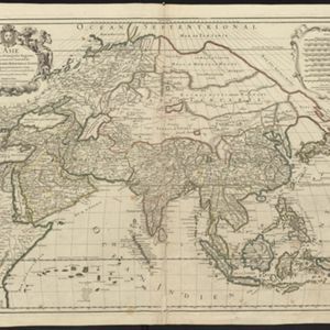
L'Asie divisée en ses principales regions, et ou se peuvent voir l'estendue des Empires, Monarchies, Royaumes, et Estats qui partagent présentement l'Asie

event1696

location_onBrunei, Cambodia, East Timor, Indonesia, Laos, Malaysia, Myanmar, Papua New Guinea, Philippines, Singapore, Southeast Asia, Thailand, Vietnam

This map shows the empires, kingdoms and states of Southeast Asia. Its decorative cartouche features drawings of two women—one with a cornucopia and one with a censer (incense burner)—elephant heads, and a French coat of arms. Nine scales are shown.

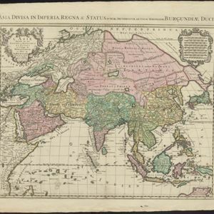
L'Asie diuisée en ses Empires, Royaumes, et Estats = Asia divisa in Imperia, Regna & Status

event1694

location_onBrunei, Cambodia, East Timor, Indonesia, Laos, Malaysia, Myanmar, Philippines, Singapore, Southeast Asia, Thailand, Vietnam

This map shows the empires, kingdoms and states of Southeast Asia. Its decorative cartouche features drawings of two women—one with a cornucopia and one with a censer (incense burner)—elephant heads, and a French coat of arms. Nine scales are shown.

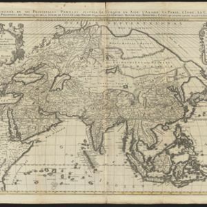
L'Asie divisée en ses principales regions, et ou se peut voir l'estendue des Empires, Monarchies, Royaumes, et Estats qui partagent présentement l'Asie

event1692

location_onBrunei, Cambodia, East Timor, Indonesia, Laos, Malaysia, Myanmar, Philippines, Singapore, Southeast Asia, Thailand, Vietnam

This map shows the empires, kingdoms and states of Southeast Asia. Its decorative cartouche features drawings of two women—one with a cornucopia and one with a censer (incense burner)—elephant heads, and a French coat of arms. Nine scales are shown.

close