![](https://historicalmaps.yale-nus.edu.sg/rails/active_storage/representations/eyJfcmFpbHMiOnsibWVzc2FnZSI6IkJBaHBBajRCIiwiZXhwIjpudWxsLCJwdXIiOiJibG9iX2lkIn19--97050f11e13f357e6561450fee6b8b574866eec2/eyJfcmFpbHMiOnsibWVzc2FnZSI6IkJBaDdCam9MY21WemFYcGxTU0lNTkRBd2VETXdNQVk2QmtWVSIsImV4cCI6bnVsbCwicHVyIjoidmFyaWF0aW9uIn19--bc467f5637e8b6d3bfb826116f92b6bfedfbf03a/leiden-3181775.jpeg)
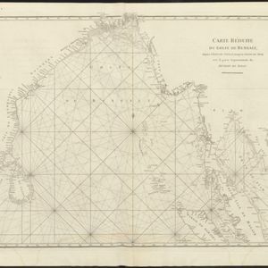
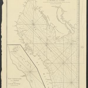
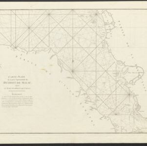
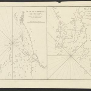
Carte d'une partie de la Cote de Cochinchine: depuis l'Isle Cham-Collao jusqu'à la Riv. du Roi
1775
Vietnam
A map to aid navigation around the Bay of Touranne (Bay of Turon, location of modern city of Da Nang, Vietnam). The web of lines is a rhumbline network, and bathymetry (sea depth), anchor points and two elevation views of the coasts are shown.