Search

Search Results

Moluksche archipel: Baai van Amboina

event1895

location_onIndonesia

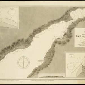
A map to aid navigation in Ambon Bay, on the island of Ambon in the Maluku Islands: bathymetry (sea depth) and mountains are shown along the coasts, with inset maps of a coal mine pier and Fort Victoria. A second map updates the coal mine pier map.

Nieuwe kaart van het eiland Java

event1816

location_onIndonesia

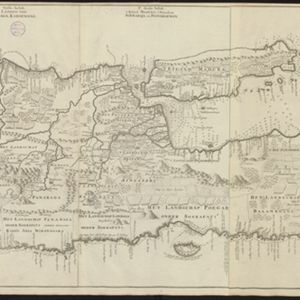
Map of Java marked with administrative regions, settlements, roads, mountains and rivers. There is an inset map of the port city of Batavia, with its system of rivers and canals, and its surrounding country with villages, fields and plantations.

Batavia

eventc.1772-1780

location_onIndonesia

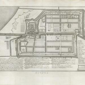
A plan of the port city of Batavia in the 18th century. Small ships can be seen transporting goods along the river to the pier, and the street plan also includes churches, shopping areas and hospitals, as noted on the map’s detailed legend.

Carte des environs de Batavia = Kaart van de buitenstreeken van Batavia

eventc.1772-1780

location_onIndonesia

This late 18th century map of Batavia (Jakarta) focusses on the network of canals and rivers surrounding the city, as well as the many fields and plantations, including rice fields (‘Champ de Ris’) and sugarcane (‘Cannes de Sucre’).

De Straat Sunda in de Oost-Indische Zee tussen de Eylanden Sumatra en Java

eventc.1750

location_onIndonesia

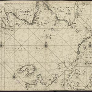
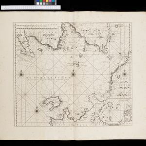
Chart of the Sunda Strait, focusing on bays and islands, and showing bathymetry (sea depth), anchor points, shoals and reefs, landmarks, and a rhumbline network, all to aid navigation. Includes an inset map of the bay of the city of Banten on Java.

De Straat Sunda in de Oost-Indische Zee tussen de eylanden Sumatra en Iava

event1728

location_onIndonesia

Chart of the Sunda Strait, focusing on bays and islands, and showing bathymetry (sea depth), anchor points, shoals and reefs, landmarks, and a rhumbline network, all to aid navigation. Includes an inset map of the bay of the city of Banten on Java.

Nieuwe en zeer naaukeurige kaart van t eyland Java Major of Groot Java: verdeeld in seven byzondere bestekken

event1728

location_onIndonesia

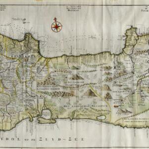
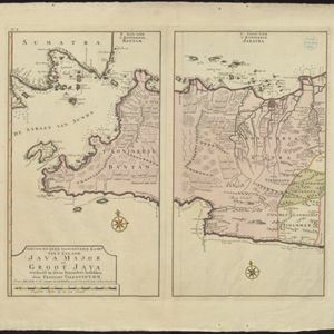
On this beautifully illustrated and coloured map of Java, mountains, trees, fields of crops and settlements are shown pictorially. The coasts are marked with shoals, reefs, bathymetry (sea depth, in figures) and anchor points.

Insulae Iavae pars Occidentalis

event1728

location_onIndonesia

A map of Java with mountains, jungles, animals and crops. Bathymetry (sea depth) is marked, including on an inset map of Batavia harbour. Illustrations include Batavia Castle, and a lion—representing Belgium—receiving tribute and enslaving locals.

Nieuwe en zeer naaukeurige kaart van t eyland Java Major of Groot Java: verdeeld in seven byzondere bestekken

eventc.1726

location_onIndonesia

On this beautifully illustrated and detailed map of Java, mountains, trees, fields of crops and settlements are shown pictorially. The coasts are marked with shoals, reefs, bathymetry (sea depth, in figures) and anchor points.

close