Search

Search Results

A chart of north-west coast of Borneo: from Balambangan to Borneo proper

event1794

location_onMalaysia

Sketch of the Straits of Gaspar

event1794

location_on-

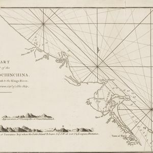
A chart of a part of the coast of Cochinchina: from Cham-Collao Island to the King's River

event1794

location_onVietnam

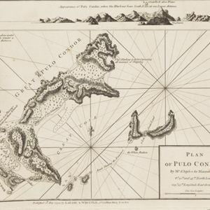
Plan of Pulo Condor

event1794

location_onVietnam

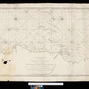
A new chart of the north coast of Java: wherein are described the roads of Bantam and Batavia

event1794

location_onIndonesia

A new chart of the straits of Sunda: From the manuscript of the Dutch East India Company

event1794

location_onIndonesia

Deese wassende pas-kaart van Oost-Indien, is nu te bekoomen voor die deselve begeeren

eventc.1728-1738

location_onBrunei, Cambodia, East Timor, Indonesia, Laos, Malaysia, Myanmar, Papua New Guinea, Philippines, Singapore, Southeast Asia, Thailand, Vietnam

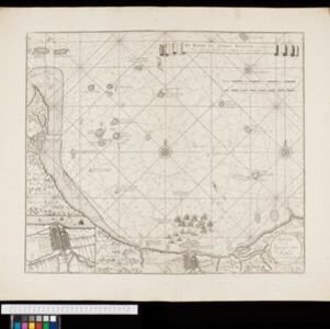
De reede en stadt Batavia, is geleegen aan de noord kust van 't eyland Groot Iava inde Oost Indische Zee

event1728

location_onIndonesia

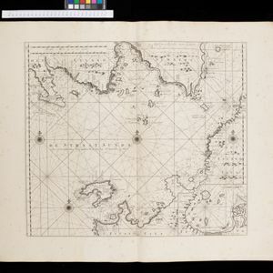
De Straat Sunda in de Oost-Indische Zee tussen de eylanden Sumatra en Iava

event1728

location_onIndonesia

[Portolan chart of the Java Sea]

event1701

location_onMalaysia, Indonesia

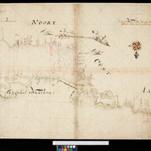
[Dutch portolan chart of the island of Madura]

eventc.1700

location_onIndonesia

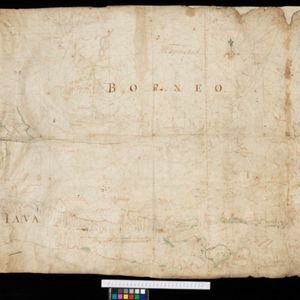
[Dutch Portolan chart of the Java Sea]

eventc.1700

location_onIndonesia

close

  • Filter from 1679 to 1892

Current results range from 1679 to 1892