Search

Search Results

Map of part of south-east New Guinea embracing its northern and southern waters

event1889

location_onPapua New Guinea

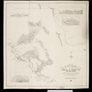
This map focuses on the southern coast including the capital Port Moresby, with the northern regions left mostly blank. There are four inset drawings of side views of mountains (elevations), and the border with German New Guinea is marked.

Schetskaart der afdeeling Westkust van Atjeh

event1888

location_onIndonesia

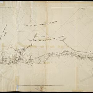
From a Dutch geographical society journal, this map of the west coast of Atjeh (Aceh), Sumatra, shows shoals, reefs, bathymetry (sea depth) and anchor points. On land, there are mountains (with heights), rivers, pepper plantations and rice fields.

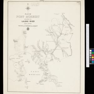
Plan of Port Moresby and the road to the Lolokie River: New Giunea

event1887

location_onPapua New Guinea

This map focuses on the capital city of British New Guinea, Port Moresby, and the road heading north-east from the city to the Laloki River. Along the road, there are descriptions of the terrain (‘Open flat fairly grasses timbered with bastard Gum’).

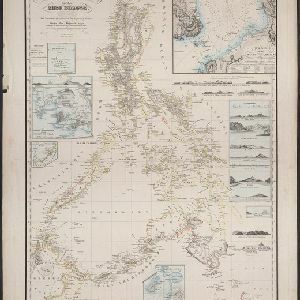
Reduzirte Karte von den Philippinen und den Sulu Inseln

event1884

location_onPhilippines, Malaysia, Indonesia

Maritime map of the Philippines, with inset maps of bays showing bathymetry (sea depth), shoals, reefs and anchor points. There is also an inset map of Taal Volcano, and elevations (side views of terrestrial landmarks like mountains and islands).

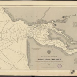
Westkust Borneo: Mond der Padang-Tikar rivier

event1884

location_onIndonesia

Navigation map of the mouth of the Padang Tikar River, on the west coast of Borneo, featuring bathymetric (water depth) routes. Obstructions are marked with letters: ‘m’ (mud), ‘z’ (sand). Trees, hills and fishermen’s houses are shown as landmarks.

New chart of Sunda Straits

event1883

location_onIndonesia

A map documenting the effects of the Krakatoa volcanic eruption, detailing the destruction of part of the Krakatoa Island and damage to surrounding areas. Created by a ship’s captain who passed through the Sunda Strait five days after the eruption.

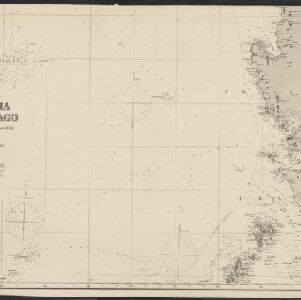
East India Archipelago, western route to China. Chart no. 6

event1882

location_onPhilippines

Two maritime routes—for use during the North-east and ‘fair’ monsoons—are shown on this late 19th century navigation map. The routes lead north through Southeast Asia, passing the Philippines, and ending in Hong Kong. Bathymetry (sea depth) is shown.

Gulf of Siam: Malay Peninsula - East Coast. Lakon Roads to Lem Tane

event1880

location_onThailand

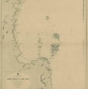
Produced by the British Admiralty’s Hydrographic Office, this map includes various navigational aids, such as maritime routes, bathymetry (sea depth), tide and current data, and elevations (side views of hills and mountains to use as landmarks).

Algemeene kaart van Nederlandsch Indië

event1879

location_onCambodia, Indonesia, Papua New Guinea, East Timor, Southeast Asia, Thailand, Malaysia, Philippines, Laos, Vietnam, Singapore, Brunei, Myanmar

A late 19th century map of the Dutch East Indies on four sheets, detailing maritime routes around the region. There are also inset maps showing railways, rivers, roads, and telegraph systems, as well as individual islands and cities.

Map of the Malay Peninsula 1879

event1879

location_onMalaysia, Singapore, Thailand

Six-sheet map of the Malay Peninsula, featuring settlements, mountains and rivers. Labels note names of indigenous peoples, or describe terrain/resources. There is an inset map of Singapore town, and the Straits Settlements are highlighted in red.

Land- en zeekaart der Banda-eilanden

event1871

location_onIndonesia

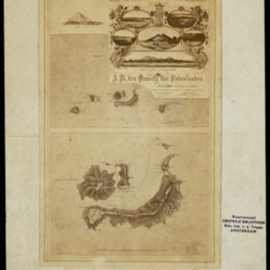
Two maps of the Banda Islands—one of the whole group; the other focusing on the larger islands only—with an elaborate cartouche illustrated with six views of the islands. There is also a drawing of the volcano on Goenong Api (Banda Api).

close