Search

Search Results

Zuidelijk gedeelte van de Chineesche zee: Blad I

event1899

location_onMalaysia, Singapore, Indonesia

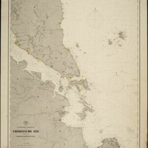
Navigation map of the southern part of the South China Sea, including the straits of Malacca and Singapore, and the Riau Archipelago. Bathymetry (sea depth), lighthouses, shoals and other obstructions are marked, with hills to use as landmarks.

Noordkust Java: Westervaarwater van Soerabaja

event1898

location_onIndonesia

This map of the Madura Strait between Java and Madura is designed to aid navigation: bathymetry (water depth), lighthouses, shoals and reefs, rocks and mud, anchor points, and landmark mountains are all marked. Text describes the tidal conditions.

Westkust Sumatra: Melaboe tot Singkel

event1898

location_onIndonesia

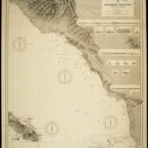
Navigation map of the northwest coast of Sumatra. Bathymetry (sea depth), anchor points, shoals and other obstructions (clay, coral, mud, stones, sand) are marked, with hills and settlements to use as landmarks.

Vaarwaters en ankerplaatsen nabij het eiland Banka

event1898

location_onIndonesia

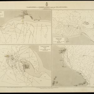
Four navigation maps of locations around Banka (Bangka) Island, east of Sumatra. Anchor points, lighthouses, bathymetry (sea depth), shoals and other obstructions and landmarks (hills, buildings, trees) are shown.

Map of the Island of Singapore and its dependencies

event1898

location_onSingapore

Map of Singapore Island, divided into Districts, including the surrounding islands and straits. The city centre, roads and forests are marked. MacRitchie Reservoir is at the centre of the island, with coconut plantations along the east coast.

Baaien op de Zuidkust van Java

event1897

location_onIndonesia

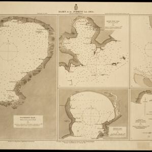
Five maps of bays of Java, including bathymetry (sea depth), anchor points, coastal hills, tide data, reefs and shoals. Obstructions in the water are marked ‘gr’ (rough), ‘h’ (hard), ‘k’ (clay), ‘kr’ (coral), ‘m’ (mud), ‘st’ (stones), and ‘z’ (sand).

Ankerplaatsen en mondingen van rivieren op de Noord- en Oostkust van Sumatra: Blad I

event1896

location_onIndonesia

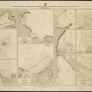
Eleven separate maps of bays and river mouths of Sumatra, including two bays on the island on Bras (Breueh Island), and the bay at Kota Radja (Banda Aceh). Bathymetry (sea depth), anchor points, reefs and shoals are marked, along with tide data.

Vaarwaters en ankerplaatsen op de Zuidkust van Celebes

event1896

location_onIndonesia

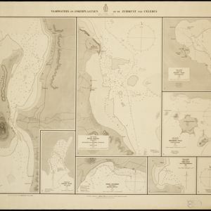
Eight navigation maps from around the south coast of Celebes (Sulawesi). Anchorages, roadsteads (bodies of water sheltered from tides/currents), bathymetry (sea depth), shoals and other obstructions are shown, with hills and settlements as landmarks.

Kei- of Ewaf-eilanden

event1895

location_onIndonesia

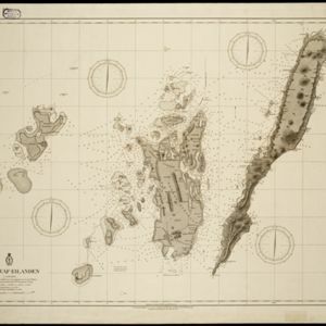
Map of the Kai Islands, in the Banda Sea, designed for navigation: it features bathymetry (sea depth), tide data (arrows), reefs and shoals. Obstructions in the water are marked ‘kr’ (coral), ‘m’ (mud), ‘s’ (shells), ‘st’ (stones), and ‘z’ (sand).

Koninginne baai met Emma haven

event1894

location_onIndonesia

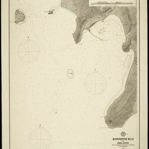
Map of Koninginne Baai (Bayur Bay, west coast of Sumatra) used to navigate Emma Haven (now Port of Teluk Bayur). It features bathymetry (sea depth), reefs and shoals, as well as lighthouses, buoys and two elevations (side views) of coastal mountains.

Zuidelijk gedeelte van de Chineesche zee: Blad I

event1893

location_onMalaysia, Indonesia, Singapore

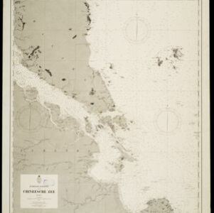
Navigation map of the southern part of the South China Sea, including the straits of Malacca and Singapore, and the Riau Archipelago. Bathymetry (sea depth), lighthouses, shoals and other obstructions are marked, with hills to use as landmarks.
New Sketch Map of the Protected Malay State of Perak

event1892

location_onMalaysia

Map of the state of Perak (Malay Peninsula) with a table of statistics: area, population, road/railway/river lengths, revenue, tin exports. Gold and tin mines are marked, and the Straits Settlements are highlighted in red.

close