Search Results
Filter
Map Attributes
Contour Lines/Elevation
Remove constraint Map Attributes: Contour Lines/Elevation
Map Attributes
Longitude and Latitude
Remove constraint Map Attributes: Longitude and Latitude
Cultivation/Extraction
Plantation/Forestry Area
Remove constraint Cultivation/Extraction: Plantation/Forestry Area
Insets
Legend
Remove constraint Insets: Legend
Land Features
Wetlands
Remove constraint Land Features: Wetlands
Detailed Location
Dutch East Indies
Remove constraint Detailed Location: Dutch East Indies
Settlement Features
Kampong/Village
Remove constraint Settlement Features: Kampong/Village
Settlement Features
Temple
Remove constraint Settlement Features: Temple
3 Results found

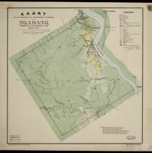
Kaart van den vierkanten paal gouvernements grondgebied te Ngabang
1888
Indonesia
Map of the town of Ngabang, on the Landak River, Borneo and the surrounding forest and mountains. Around the town are cemeteries, a well, a jail and a Chinese temple. Bamboo, coconut trees, fishing ponds and fields (including alang-alang) are marked.

Topographische kaart der residentie Besoeki
1888
Indonesia
The residency of Besoeki (Besuki), East Java, featuring crops (rice, alang-alang, bamboo, coconut); fishing ponds; factories, warehouses, businesses; routes, administrative borders; churches, cemeteries, forts, lighthouses; mountains, rivers, lakes.
- Filter from 1888 to 1899
- Cemetery/Columbarium3
- [remove]Kampong/Village3
- [remove]Temple3
- Church2
- Residential Area2
- Well2
- Jail/Prison1
- Military Barracks1
- Military Fort1
- Mosque1
- Post Office1
- Crops3
- [remove]Plantation/Forestry Area3
- Fishing2
- Agricultural Pond1
- Mining1


