Search Results
Filter
Map Attributes
Contour Lines/Elevation
Remove constraint Map Attributes: Contour Lines/Elevation
Map Attributes
Longitude and Latitude
Remove constraint Map Attributes: Longitude and Latitude
Cultivation/Extraction
Plantation/Forestry Area
Remove constraint Cultivation/Extraction: Plantation/Forestry Area
Land Routes
Bridge
Remove constraint Land Routes: Bridge
Political Regions
District/Administrative Border
Remove constraint Political Regions: District/Administrative Border
3 Results found

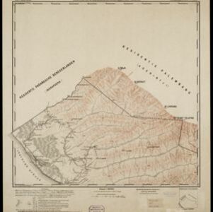
Sumatra: Residentie Benkoelen (Bengkoelen)
c.1894-1895
Indonesia
Map of the residency of Benkoelen (Bengkulu, southwest coast of Sumatra), over 10 sheets, with an inset map of the city of Bengkoelen (Bengkulu). Types of crops—coconut, rice, alang-alang, nipah palm, coffee—are marked. Sheet number 8 is missing.

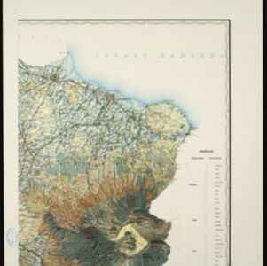
Topographische kaart der residentie Pasoeroean
1887
Indonesia
The residency of Pasoeroean (Pasuruan), East Java, featuring crops (coffee, cinchona (kina), rice, alang-alang, bamboo) and fishing ponds. Two inset maps: a triangulation map, and a map of distances between settlements by various types of transport.


