Malay, or East Indian Archipelago, with Burmah, Siam &c.
event1887
location_onBrunei, Cambodia, East Timor, Indonesia, Laos, Malaysia, Myanmar, Philippines, Singapore, Southeast Asia, Thailand, Vietnam
India, Burmah and the adjacent parts of Beluchistan, Afghanistan, Turkestan, the Chinese Empire, and Siam
event1887
location_onMyanmar, Thailand, Malaysia, Indonesia
Burma: with parts of India, China, and Siam
event1886
location_onMyanmar, Laos, Thailand
A Map of South Eastern Asia from Peking to Singapore... with an enlarged plan of the environs of Hanoi, on the Red River
event1883
location_onBrunei, Cambodia, Indonesia, Laos, Malaysia, Myanmar, Singapore, Thailand, Vietnam
Asiatic archipelago
event1876
location_onVietnam, Myanmar, Papua New Guinea, Philippines, Singapore, Southeast Asia, Thailand, Malaysia, Laos, Indonesia, East Timor, Cambodia, Brunei
Map of Burmah, and adjacent countries
event1875
location_onMyanmar, Thailand
A map shewing the various routes proposed for connecting China with India and Europe through Burmah and developing the trade of Eastern Bengal, Burmah and China
event1875
location_onMyanmar, Thailand
Principal Dutch colonies in the Indian seas
event1872
location_onBrunei, Indonesia, Malaysia
The Island of Ceylon / Burmah, Siam and Anam
event1870
location_onMyanmar, Laos, Cambodia, Thailand, Vietnam, Malaysia
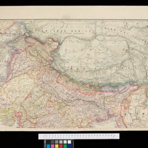
Stanford's portable map of India shewing its present divisions and the adjacent parts of Beluchistan, Afghanistan, Turkestan, the Chinese Empire, Burmah and Siam
event1869
location_onMyanmar, Indonesia, Thailand
Western part of the Java Sea : from Lucipara I. to Sunda Strait and Batavia