Search

Search Results

Burma

event1899

location_onMyanmar

A large-scale topographical map of the states of Hsipaw, Lawksawk and Mongkung, within the Shan State of Burma (Myanmar). Elevation is indicated by contour lines, and travel and trade routes, villages, areas of cultivation and markets are also shown.

Sumatra

eventc.1899-1902

location_onIndonesia

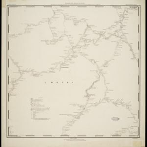
Eight sheets from a large-scale detailed topographic map of Sumatra (many other sheets are missing). Includes crops (rice, coconut, coffee, banana, sugar, gambier, cinnamon, bamboo, alang-alang, arenga palm), routes (railways, roads), settlements.

Upper Burma

event1899

location_onMyanmar, Thailand

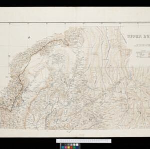
Map of Upper Burma, showing the borders with Assam (India), China and Siam (Thailand), as well as internal administrative borders. Mountains with their heights, settlements, rivers and railways (completed, proposed and under construction) are shown.

Indo-Chine: carte de la mission Pavie

event1899

location_onCambodia, Laos, Myanmar, Thailand, Vietnam

Spread over four sheets, this topographical map was based on the explorations of the French civil servant Auguste Pavie. Lasting 16 years (1879–1895), his ‘Missions Pavie’ explored all of mainland Southeast Asia.

Overzichtskaart van Groot-Atjeh en aangrenzende kuststaten

event1898

location_onIndonesia

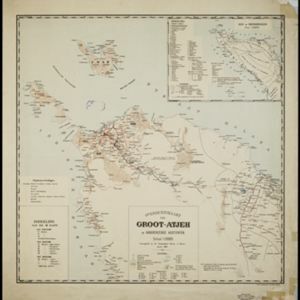
Map of Groot-Atjeh (Aceh, Sumatra), focusing on the area around the capital Kota Radja (Banda Aceh) and along the coasts. There is a list of telephone connections in the area, and an inset map of the region divided into administrative districts.
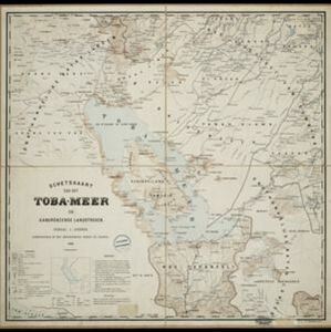
Schetskaart van het Toba-meer en aangrenzende landstreken

event1898

location_onIndonesia

Map of Lake Toba and the surrounding area in northern Sumatra, featuring mountains, forests, types of terrain (undergrowth, field, grass), rivers, roads and settlements. There is an inset map that shows the other maps referenced in producing the map.

Topographische kaart der residentie Semarang

event1898

location_onIndonesia

The residency of Semarang, Central Java, featuring crops (coffee, rice, bamboo, nipa palm); cemeteries, post offices, railway stations; routes (railway, postal, road, canal), administrative borders; mountains, rivers, forests.

Map of the Island of Singapore and its dependencies

event1898

location_onSingapore

Map of Singapore Island, divided into Districts, including the surrounding islands and straits. The city centre, roads and forests are marked. MacRitchie Reservoir is at the centre of the island, with coconut plantations along the east coast.

Residentie Wester-afdeeling van Borneo

event1897

location_onIndonesia

A series of maps of rivers and paths in western Borneo, featuring mountains with their heights, jungles, wetlands and crops (coconut, bamboo, alang-alang, nipa palm). Only four sheets are available.

Kaart van het eiland Lombok

event1897

location_onIndonesia

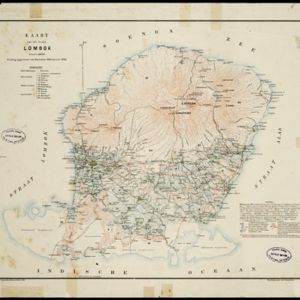
Topographic map of the island of Lombok in the Lesser Sunda Islands, with terrain shown by contour lines. Administrative districts, villages, routes, forests and crops (rice, coconut, coffee, banana, alang-alang, bamboo, Javanese pine) are marked.

Kaart van midden Lombok

event1897

location_onIndonesia

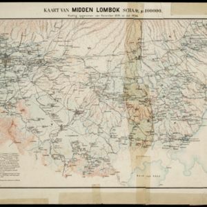
Map of southern Lombok in the Lesser Sunda Islands, including the capital city Mataram, other settlements, routes and crops/plantations—rice, coconut, tea, coffee, banana, alang-alang, bamboo, arenga palm—with more mountainous regions to the north.

Kaart van het Eiland Bali

event1897

location_onIndonesia

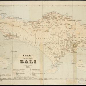
Bali under Dutch colonial rule is shown here divided into eight regencies (administrative divisions). Contour lines indicate elevation, with the heights of some mountains noted. Shoals, reefs and sandbanks are marked around the coast.

close