Map to illustrate the Siamese question: showing the present limits of French claims, and the additional territory now demanded
event1893
location_onCambodia, Laos, Malaysia, Myanmar, Thailand, Vietnam
Sketch map of Baram District, Sarawak, Borneo
event1893
location_onMalaysia, Indonesia, Brunei
Sketch map of the head of Collingwood Bay
event1892
location_onPapua New Guinea
Map of British New Guinea
event1892
location_onPapua New Guinea, Indonesia
Map of part of Moratau (Fergusson Island) and Duau (Normanby Island): British New Guinea
event1891
location_onPapua New Guinea
Rough sketch plan of St. Joseph District, British New Guinea
event1890
location_onPapua New Guinea
Map of the Malay Peninsula 1879
event1879
location_onMalaysia, Singapore, Thailand
Map of Burmah, and adjacent countries
event1875
location_onMyanmar, Thailand
Eastern British frontier bordering on Burmah and Munneepoor
event1871
location_onMyanmar
New map of Burma and the regions adjacent
event1857
location_onMyanmar, Thailand
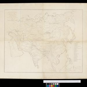
Ethnographical Map of Asia in the earliest times, illustrative of Dr. Prichard's Natural History of Man
event1843
location_onBrunei, Cambodia, Indonesia, Laos, Malaysia, Myanmar, Philippines, Singapore, Thailand, Vietnam, Southeast Asia
The continent and islands of Asia: with all the latest discoveries
event1839
location_onBrunei, Cambodia, East Timor, Indonesia, Laos, Malaysia, Myanmar, Papua New Guinea, Singapore, Philippines, Southeast Asia, Thailand, Vietnam