Search

Search Results

Schetskaart van West-Seran (Vulgo Ceram) / Schetskaart van Oost- en Midden Seran

event1896

location_onIndonesia

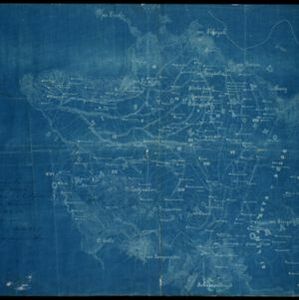
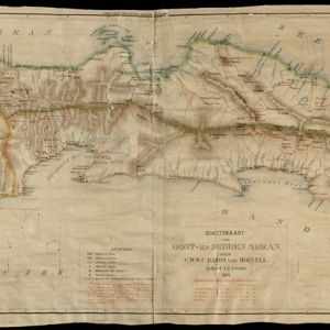
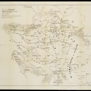
Map of the island of Seram in the Maluku Islands, originally produced as two separate maps. Red lines show lines of communication of local people (referred to as ‘Alfoer’), with their tribe’s name. Muslim, Christian and Alfoer settlements are marked.

Kaart van de Karo landen (Oost Sumatra)

event1891

location_onIndonesia

A map recording five Dutch expeditions through the Karo Lands of northern Sumatra. The mountainous terrain is represented by contour lines, with peaks’ heights marked. The names of groups of the indigenous Karo people are shown in large letters.

Kaart van het middengedeelte van Sumatra

event1890

location_onIndonesia

Details of each area’s resources are printed on this map of Sumatra: rattan, coffee, pepper, Chinese cinnamon, tobacco, resins, camphor, cotton, coal, gold, lumber, elephants, horses, as well as the locals’ ethnicity (Malays, Javanese, Acehnese).

Kaart van het eiland Flores

event1890

location_onIndonesia

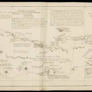
Hand-drawn map of Flores in the Lesser Sunda Islands, with extensive written notes describing the island, e.g. the interior is unknown to Europeans; the names of the main Christian villages are underlined.

Karte der Karaulanden

event1889

location_onIndonesia

A map recording five Dutch expeditions through the Karo Lands of northern Sumatra. The mountainous terrain is represented by contour lines, with peaks’ heights marked. The names of groups of the indigenous Karo people are shown in large letters.

Kaart van de Golf van Tomini of Gorontalo en omliggende landen

event1878

location_onIndonesia

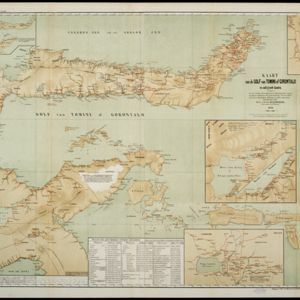
Map of the Minahasa and East peninsulas of Celebes (Sulawesi) focusing on the road system (shown by red lines). There are four inset maps, including one showing indigenous tribal areas, and a list of places with their latitude, longitude and height.

Kaart van het Eiland Nias

event1857

location_onIndonesia

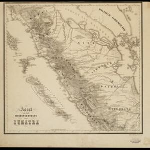
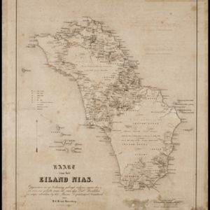
Map of the island of Nias off the west coast of Sumatra. Nias and Muslim villages are marked separately; large interior areas are left blank (‘Niet onderzocht [Not researched]’). Anchor points and side views of hills (elevations) are for navigation.

Asien

eventc.1850

location_onBrunei, Cambodia, East Timor, Indonesia, Laos, Malaysia, Myanmar, Papua New Guinea, Philippines, Singapore, Southeast Asia, Thailand, Vietnam

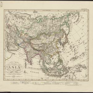
On this map of Asia, colours are used to show the colonial territories of the European powers, and to show Muslim and Buddhist regions: Sumatra is divided between the Netherlands and local rulers; the Straits Settlements underlined in red (British).

The continent and islands of Asia: with all the latest discoveries

event1839

location_onBrunei, Cambodia, East Timor, Indonesia, Laos, Malaysia, Myanmar, Papua New Guinea, Singapore, Philippines, Southeast Asia, Thailand, Vietnam

On this map of Asia, the South China Sea is labelled ‘Malayan Sea’. Small islands, shoals and reefs are shown. A label in Cochin China (Vietnam) reads ‘mountains inhabited by the uncivilized people called Kemoys’.

Karte von Assam: und seinen Nachbar-Ländern

event1834

location_on-

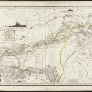
Map of Assam, including India’s border with northwest Birma (Myanmar) where indigenous lands/peoples are marked (Singphos, Naga, Kasi-Schan, Thai-Lung) e.g. ‘These mountainous landscapes are inhabited by the Naga tribes [translation from map text]’.

close

  • Filter from 1825 to 1896

Current results range from 1825 to 1896