Search

Search Results

Kaart van de Vallei van Pidië, de Moekim VII en de Vallei van Tangsé

event1899

location_onIndonesia

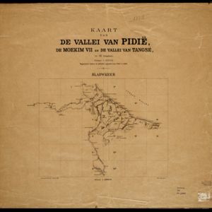
Large-scale topographic map of the northeast coast of Sumatra around the city of Sigli, Aceh, spread over 16 sheets plus a cover sheet of the whole area. The map focuses on two river valleys, mountains, marshland, villages and rice paddies.

Kaart van het gebied bezet in Groot-Atjèh

event1898

location_onIndonesia

A six-sheet map of Groot-Atjèh (Aceh, northern Sumatra) focusing on areas occupied during the Aceh War (1873–1904) between the Sultanate of Aceh and Dutch colonists. It shows military positions and fortifications, buildings, routes and crops.

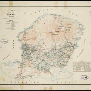
Kaart van het eiland Lombok

event1897

location_onIndonesia

Topographic map of the island of Lombok in the Lesser Sunda Islands, with terrain shown by contour lines. Administrative districts, villages, routes, forests and crops (rice, coconut, coffee, banana, alang-alang, bamboo, Javanese pine) are marked.

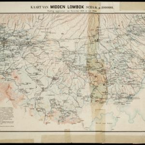
Kaart van midden Lombok

event1897

location_onIndonesia

Map of southern Lombok in the Lesser Sunda Islands, including the capital city Mataram, other settlements, routes and crops/plantations—rice, coconut, tea, coffee, banana, alang-alang, bamboo, arenga palm—with more mountainous regions to the north.

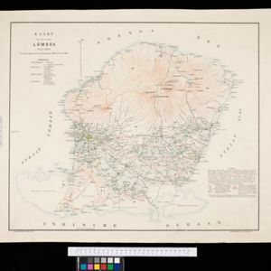
Kaart van het eiland Lombok

event1897

location_onIndonesia

A map of the island of Lombok divided into administrative districts. Rivers, roads and paths, forests and mountains, anchor points, and crops—rice, coconut, coffee, banana, alang-alang, bamboo, casuarina (Javanese pine)—are marked.

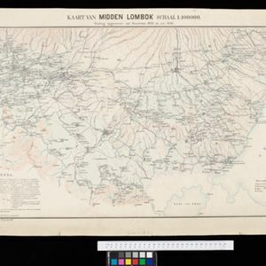
Kaart van Midden Lombok

event1897

location_onIndonesia

Map of southern Lombok in the Lesser Sunda Islands, including the capital city Mataram, other settlements, routes and crops/plantations—rice, coconut, tea, coffee, banana, alang-alang, bamboo, arenga palm—with more mountainous regions to the north.

Kaart van de residentie Oostkust van Sumatra

event1896

location_onIndonesia

Detailed topographical map of the east coast of Sumatra, spread over 36 sheets. The area’s farms are listed and shown on the map within yellow borders, with types of crop grown. There is a detailed plan of Medan, and five inset maps of other towns.

Sumatra: Residentie Benkoelen (Bengkoelen)

eventc.1894-1895

location_onIndonesia

Map of the residency of Benkoelen (Bengkulu, southwest coast of Sumatra), over 10 sheets, with an inset map of the city of Bengkoelen (Bengkulu). Types of crops—coconut, rice, alang-alang, nipah palm, coffee—are marked. Sheet number 8 is missing.

Kaart van het Westelijk gedeelte bezet in Groot-Atjèh

event1895

location_onIndonesia

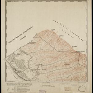
This map of Groot-Atjèh (Aceh, northern Sumatra) focuses on the western part occupied during the Aceh War. It shows mountains, wetlands, forests, villages, routes and crops (rice, coconut, banana, sugar, sugarcane, bamboo, alang-alang, betel).

Residentie Madoera

event1893

location_onIndonesia

Large-scale topographic map of the residency of Madoera (Madura, off north east coast of Java) spread over multiple sheets plus a cover sheet of the whole area. It is divided into departments and districts. Only 60 out of ~120 sheets are available.

Sumatra

event1889

location_onIndonesia

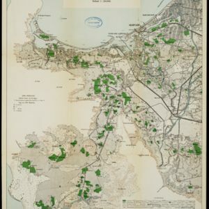
Map of the city of Padang on the west coast of Sumatra, with inset maps of the nearby islands, featuring residential, business, government and military areas. There are also agricultural areas with coconut, nutmeg, bamboo, nipa palm and sago palm.

Kaart van den vierkanten paal gouvernements grondgebied te Ngabang

event1888

location_onIndonesia

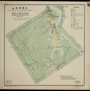
Map of the town of Ngabang, on the Landak River, Borneo and the surrounding forest and mountains. Around the town are cemeteries, a well, a jail and a Chinese temple. Bamboo, coconut trees, fishing ponds and fields (including alang-alang) are marked.

close