Search

Search Results

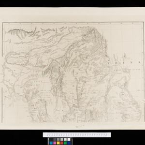
Map to illustrate the Siamese question: showing the present limits of French claims, and the additional territory now demanded

event1893

location_onCambodia, Laos, Malaysia, Myanmar, Thailand, Vietnam

Map highlighting areas of eastern Siam (Thailand) claimed by France. Notes describe Siam’s geography, government, population, military and trade (rice, teak, pepper, bullocks, fish, hides, tin, cardamom, tin), including trading partners by tonnage.

Upper Burma: Preliminary map 1887

event1887

location_onMyanmar

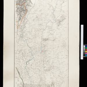
Map of Upper Burma, with the city of Mandalay highlighted in red in the centre, and featuring the Irrawaddy and Chindwin rivers, roads and settlements. Mountains, forests and mines (coal, silver, rubies, amber) are marked.

Algemeene kaart van Nederlandsch Indië

event1879

location_onCambodia, Indonesia, Papua New Guinea, East Timor, Southeast Asia, Thailand, Malaysia, Philippines, Laos, Vietnam, Singapore, Brunei, Myanmar

A late 19th century map of the Dutch East Indies on four sheets, detailing maritime routes around the region. There are also inset maps showing railways, rivers, roads, and telegraph systems, as well as individual islands and cities.

Nederlandsch Oost-Indië

event1865

location_onBrunei, Cambodia, East Timor, Indonesia, Laos, Malaysia, Myanmar, Vietnam, Thailand, Southeast Asia, Singapore, Philippines, Papua New Guinea

This detailed map of the Dutch East Indies in the mid-19th century contains a great deal of information: topographical details, settlements and administrative areas, roads, railways and maritime routes, telegraph lines, inset maps etc.

New map of Burma and the regions adjacent

event1857

location_onMyanmar, Thailand

Map of Burma spread over two sheets, labelled with the names of indigenous ‘tribes’ (uppercase red text), mountains, rivers, forests and plantations (teak, bamboo, sappanwood).

Possessions Françaises orientales

eventc.1845

location_onMyanmar

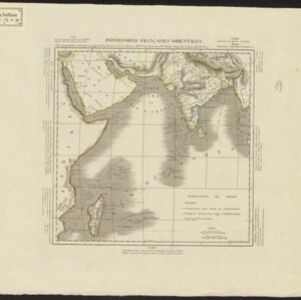
Although this map focuses on French colonial possessions in Africa, the Arabian Peninsula and India, a small part of Southeast Asia is shown: labelled ‘Birmans’, it was part of the Birman Empire (modern Myanmar).

Possessions Françaises orientales

eventc.1845

location_onMyanmar

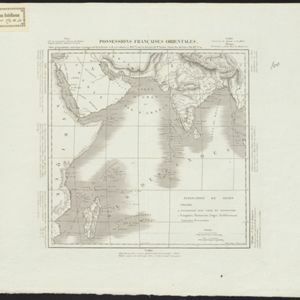
Although this map focuses on French colonial possessions in Africa, the Arabian Peninsula and India, a small part of Southeast Asia is shown: labelled ‘Birmans’, it was part of the Birman Empire (modern Myanmar).

Possessions Françaises orientales

eventc.1845

location_onMyanmar

Although this map focuses on French colonial possessions in Africa, the Arabian Peninsula and India, a small part of Southeast Asia is shown: labelled ‘Birmans’, it was part of the Birman Empire (modern Myanmar).

Possessions Françaises orientales

eventc.1845

location_onMyanmar

Although this map focuses on French colonial possessions in Africa, the Arabian Peninsula and India, a small part of Southeast Asia is shown: labelled ‘Birmans’, it was part of the Birman Empire (modern Myanmar).

close

  • Filter from 1845 to 1893

Current results range from 1845 to 1893