Search

Search Results

Nieuwe kaart van het eiland Java

event1816

location_onIndonesia

Map of Java marked with administrative regions, settlements, roads, mountains and rivers. There is an inset map of the port city of Batavia, with its system of rivers and canals, and its surrounding country with villages, fields and plantations.

A map of Java: chiefly from surveys made during the British administration

event1817

location_onIndonesia

Made for ‘A History of Java’ by Sir Stamford Raffles, this map includes a list of administrative districts with their populations, and four inset maps of harbours. Another inset map shows rocks and minerals, mountains and volcanoes, and teak forests.

Algemeene kaart van Nederlandsch Oostindie

eventc.1839-1855

location_onEast Timor, Indonesia, Malaysia, Singapore

This map of the Dutch East Indies is spread over eight sheets, with a hand-drawn cover sheet showing the whole area. There are numerous inset maps of islands, bays, cities etc. Two of the inset maps have a replacement map pasted over them.

Algemeene Kaart van Nederlandsch Oostindie

event1842

location_onEast Timor, Indonesia, Malaysia, Singapore

This detailed map of the Dutch East Indies in the mid-19th century is spread over eight sheets, plus a cover sheet showing the whole area. There are numerous inset maps of islands, bays, cities etc.

Possessions Françaises orientales

eventc.1845

location_onMyanmar

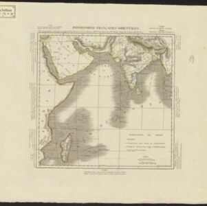
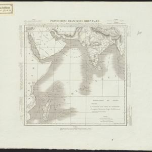
Although this map focuses on French colonial possessions in Africa, the Arabian Peninsula and India, a small part of Southeast Asia is shown: labelled ‘Birmans’, it was part of the Birman Empire (modern Myanmar).

Possessions Françaises orientales

eventc.1845

location_onMyanmar

Although this map focuses on French colonial possessions in Africa, the Arabian Peninsula and India, a small part of Southeast Asia is shown: labelled ‘Birmans’, it was part of the Birman Empire (modern Myanmar).

Possessions Françaises orientales

eventc.1845

location_onMyanmar

Although this map focuses on French colonial possessions in Africa, the Arabian Peninsula and India, a small part of Southeast Asia is shown: labelled ‘Birmans’, it was part of the Birman Empire (modern Myanmar).

Possessions Françaises orientales

eventc.1845

location_onMyanmar

Although this map focuses on French colonial possessions in Africa, the Arabian Peninsula and India, a small part of Southeast Asia is shown: labelled ‘Birmans’, it was part of the Birman Empire (modern Myanmar).

Algemeene Atlas van Nederlandsche Indie

eventc.1853-1862

location_onIndonesia

Atlas featuring over 60 detailed maps of the Dutch East Indies: 24 maps cover Java; the remainder cover the rest of the Dutch East Indies. There are three index maps. (All the maps in this atlas are also presented separately on this platform.)

Map of Prince of Wales' Island or Pulo Penang and province Wellesley

event1853

location_onMalaysia

Map of the Penang Strait, including written instructions on how to navigate the strait. On land, areas of cultivation are marked, with a table listing acreage used for each crop. A boundary with Siam based on an 1831 treaty is also shown.

close