Search

Search Results

A map of British North Borneo

event1899

location_onMalaysia, Brunei, Indonesia

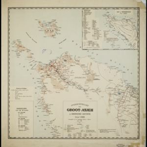
Overzichtskaart van Groot-Atjeh en aangrenzende kuststaten

event1898

location_onIndonesia

Atlas van Nederlandsch Oost-Indië

eventc.1897-1904

location_onIndonesia

A map of British North Borneo

event1894

location_onMalaysia, Brunei, Indonesia

Trade Routes in the Far East

event1894

location_onBrunei, Cambodia, Indonesia, Laos, Malaysia, Myanmar, Philippines, Singapore, Thailand, Vietnam

British Burma, Pegu division: With additions to railways up to 1891

event1891

location_onMyanmar

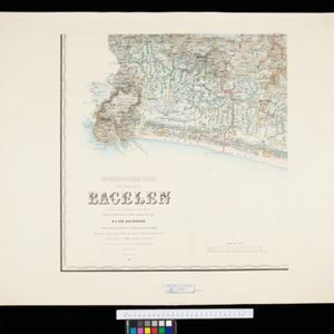
Topographische Kaart der residentie Bagelen

event1890

location_onIndonesia

Sumatra

event1889

location_onIndonesia

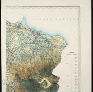
Topographische kaart der residentie Pasoeroean

event1887

location_onIndonesia

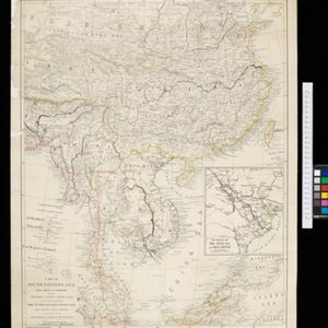
A Map of South Eastern Asia from Peking to Singapore... with an enlarged plan of the environs of Hanoi, on the Red River

event1883

location_onBrunei, Cambodia, Indonesia, Laos, Malaysia, Myanmar, Singapore, Thailand, Vietnam

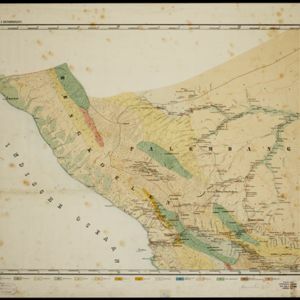
Topographische en geologische kaart van Zuid-Sumatra bevattende de residentien Bengkoelen, Palembang en Lampongsche Districten

event1880

location_onIndonesia

Algemeene kaart van Nederlandsch Indië

event1879

location_onCambodia, Indonesia, Papua New Guinea, East Timor, Southeast Asia, Thailand, Malaysia, Philippines, Laos, Vietnam, Singapore, Brunei, Myanmar

close

  • Filter from 1860 to 1899

Current results range from 1860 to 1899