Search

Search Results

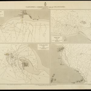
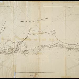
Vaarwaters en ankerplaatsen nabij het eiland Banka

event1898

location_onIndonesia

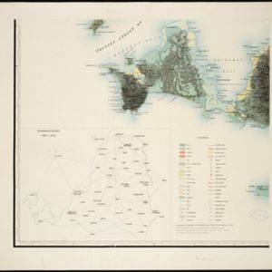
Topographische kaart der residentie Bantam

event1897

location_onIndonesia

Atlas van Nederlandsch Oost-Indië

eventc.1897-1904

location_onIndonesia

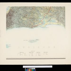
Topographische Kaart der residentie Bantam

event1897

location_onIndonesia

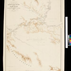
Kaiser Wilhelms-Land: Das Hinterland der Astrolabe-Bucht bis zum Ramu-Fluss

event1896

location_onPapua New Guinea

Kaart van het Westelijk gedeelte bezet in Groot-Atjèh

event1895

location_onIndonesia

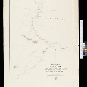
Sketch map of the head of Collingwood Bay

event1892

location_onPapua New Guinea

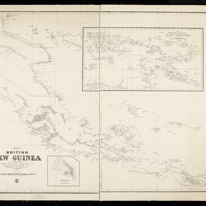
Map of British New Guinea

event1892

location_onPapua New Guinea, Indonesia

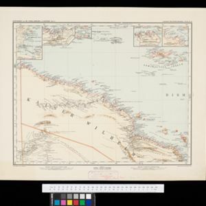
Schutzgebiet der Neu-Guinea-Kompanie

eventc.1892-1893

location_onIndonesia, Papua New Guinea

Sumatra

event1889

location_onIndonesia

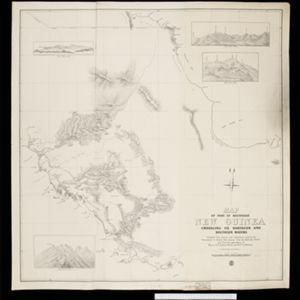
Map of part of south-east New Guinea embracing its northern and southern waters

event1889

location_onPapua New Guinea

Schetskaart der afdeeling Westkust van Atjeh

event1888

location_onIndonesia

close