Search Results
Filter
Map Attributes
Contour Lines/Elevation
Remove constraint Map Attributes: Contour Lines/Elevation
Land Features
Wetlands
Remove constraint Land Features: Wetlands
Language
English
Remove constraint Language: English
Sea Features
Reef
Remove constraint Sea Features: Reef
Settlement Features
Police Station
Remove constraint Settlement Features: Police Station
3 Results found

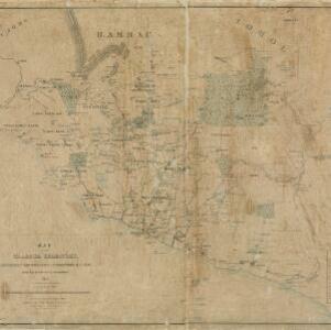
Map of Prince of Wales' Island or Pulo Penang and province Wellesley
1853
Malaysia
Map of the Penang Strait, including written instructions on how to navigate the strait. On land, areas of cultivation are marked, with a table listing acreage used for each crop. A boundary with Siam based on an 1831 treaty is also shown.
- Filter from 1853 to 1885
- [remove]English3
- [remove]Contour Lines/Elevation3
- Scale3
- Compass Rose1
- Longitude and Latitude1
- Written Note/Details1


