Search

Search Results

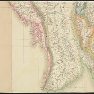
Map of the Eastern Frontier of British India, with the adjacent countries

event1838

location_onMyanmar, Thailand

Regional and local borders are colour-coded, with mountains and rivers, settlements, paths/roads and names of local peoples marked. Notes such as ‘Gold dust found in these streams’ and ‘Rich in Tin’ add detail. Only two of four sheets are available.

Nieuwe kaart van het eiland Java

event1816

location_onIndonesia

Map of Java marked with administrative regions, settlements, roads, mountains and rivers. There is an inset map of the port city of Batavia, with its system of rivers and canals, and its surrounding country with villages, fields and plantations.

close