Search Results
Filter
Map Attributes
Contour Lines/Elevation
Remove constraint Map Attributes: Contour Lines/Elevation
Land Routes
River
Remove constraint Land Routes: River
Land Routes
Road
Remove constraint Land Routes: Road
Political Regions
National Border
Remove constraint Political Regions: National Border
Political Regions
Regional Border
Remove constraint Political Regions: Regional Border
2 Results found

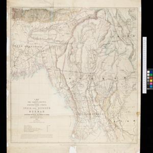
A map shewing the various routes proposed for connecting China with India and Europe through Burmah and developing the trade of Eastern Bengal, Burmah and China
1875
Myanmar, Thailand
A map of proposed trade routes through Burmah (modern Myanmar) intended to connect China to India and Europe. The border between India and Burmah is marked as being ‘unexplored’ and ‘undefined’. A table lists the distances between various cities.
- [remove]River2
- [remove]Road2
- Canal1
- Railway/Tramway1
- Colonial Possessions2
- [remove]National Border2
- [remove]Regional Border2
- [remove]Contour Lines/Elevation2
- Longitude and Latitude2
- Scale2
- Written Note/Details1


