Search Results
Filter
Map Attributes
Contour Lines/Elevation
Remove constraint Map Attributes: Contour Lines/Elevation
Land Routes
River
Remove constraint Land Routes: River
Detailed Location
Sumatra
Remove constraint Detailed Location: Sumatra
Transport Hubs
Railway Station
Remove constraint Transport Hubs: Railway Station
Collections
Bodleian Libraries, University of Oxford
Remove constraint Collections: Bodleian Libraries, University of Oxford
3 Results found

Kaart van de residentie Oostkust van Sumatra
1889
Indonesia
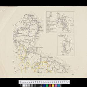
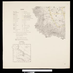
Detailed topographical map of the east coast of Sumatra, spread over 34 sheets. The area’s farms are listed and shown on the map, with types of crop grown. With five inset maps of individual towns. Two sheets and the cover sheet are missing.

Kaart van de Afdeeling Deli der residentie Oostkust van Sumatra
1887
Indonesia
A map of the department of Deli, Java, divided into administrative districts, and spread over eight sheets. Rivers, railways, roads and paths, forests and mountains, and crops—rice, coconut, pepper, nutmeg, alang-alang—are marked.
- [remove]Railway Station3
- Path3
- Railway/Tramway3
- [remove]River3
- Road3
- [remove]Contour Lines/Elevation3
- Longitude and Latitude3
- Scale3
- Written Note/Details3


