Search Results

A map of British North Borneo
1899
Malaysia, Brunei, Indonesia
The colonial territories of British North Borneo are shown in pink on this late 19th century map, with Brunei and Sarawak in green, and Dutch colonial territory in yellow. Sea routes around the British Empire are depicted on an inset map.

A map of British North Borneo
1894
Malaysia, Brunei, Indonesia
The colonial territories of British North Borneo are shown in pink on this late 19th century map, with Brunei and Sarawak in green, and Dutch colonial territory in yellow. Sea routes around the British Empire are depicted on an inset map.

Trade Routes in the Far East
1894
Brunei, Cambodia, Indonesia, Laos, Malaysia, Myanmar, Philippines, Singapore, Thailand, Vietnam
Map of stream ship trade routes around Southeast Asia. Rivers, railways, submarine telegraph cables, lighthouses (fixed, revolving and flashing), graving docks and coaling stations are marked. An inset map shows a railway route from Britain to Asia.

New sketch map of the protected Malay State of Perak
1892
Malaysia
Map of state of Perak (Malay Peninsula) with a table of statistics: area, population, road/railway/river lengths, revenue, tin exports. Straits Settlements highlighted red. Someone has added handwritten travel times/distances by steamer/road/train.

British Burma, Pegu division: With additions to railways up to 1891
1891
Myanmar
Topographical map of the Pegu Division of British Burma (Myanmar), spread over four sheets. In addition to mountains, forests, rivers and wetlands, rice fields, routes (road, railway, path, telegraph), villages and pagodas are marked.

South eastern frontier
c.1890-1906
Myanmar, Thailand
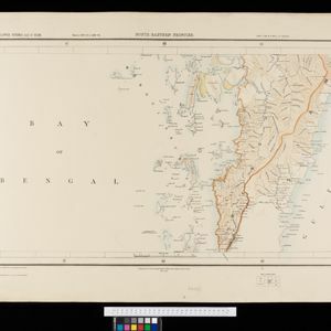
Very detailed large-scale map of the southeast border of Burma (Myanmar) and Siam (Thailand), divided into districts. Spread over multiple sheets, seems incomplete (some sheets appear more than once, probably from different versions of the same map).

Malay, or East Indian Archipelago, with Burmah, Siam &c.
1887
Brunei, Cambodia, East Timor, Indonesia, Laos, Malaysia, Myanmar, Philippines, Singapore, Southeast Asia, Thailand, Vietnam
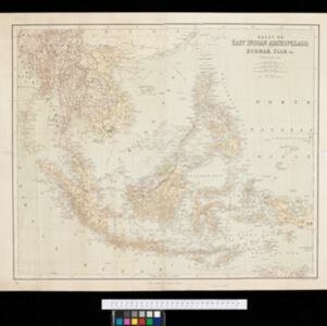
On this map of Southeast Asia, numerous small islands, shoals and reefs are marked and named, especially in the South China Sea and around the Sunda and Maluku islands. Submarine cables to carry telegraph messages around the region are also shown.

A Map of South Eastern Asia from Peking to Singapore... with an enlarged plan of the environs of Hanoi, on the Red River
1883
Brunei, Cambodia, Indonesia, Laos, Malaysia, Myanmar, Singapore, Thailand, Vietnam
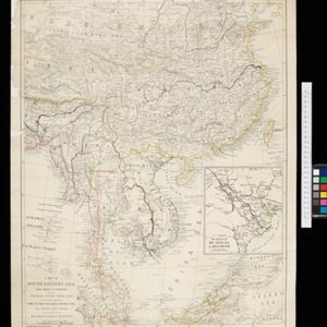
Map of East Asia, with British colonial possessions—Burma, Straits Settlements, Labuan and British North Borneo—highlighted with red borders. There is also an inset map of the Red River (Hong River) running through Hanoi, Vietnam.

Western part of the Java Sea : from Lucipara I. to Sunda Strait and Batavia
1866
Indonesia
Designed to aid navigation around the western Java Sea, this map features bathymetry (sea depth), current and tide data, and is marked with shoals, reefs and other hazards. Written notes add details at specific locations (e.g. ‘heavy tide rips’).
- Filter from 1860 to 1900
- [remove]Contour Lines/Elevation13
- Scale13
- Longitude and Latitude11
- Written Note/Details5
- Compass Rose4


