
Search Results
6 Results found

Kaart van de Nederlandsche bezittingen in Oost-Indië
1842
Brunei, East Timor, Indonesia, Malaysia, Philippines, Singapore
This map shows the Dutch colonial possessions in the East Indies in the mid-19th century. Other country’s colonial territories are also shown: British (Malacca), Spanish (Philippines) and Portuguese (East Timor). Forts are also marked.

Kaart der Nederlandsche bezittingen in Oostindien = Possessions hollanaises aux Indes Orientales
1840
Brunei, East Timor, Indonesia, Malaysia, Singapore
Map of Dutch colonial territory in Southeast Asia, including the administrative areas of Java and Madura. Two maritime routes are marked from Batavia to the Maluku Islands: of the brig ‘Douga’ in 1825, and by Baron Godert van der Capellen in 1824.
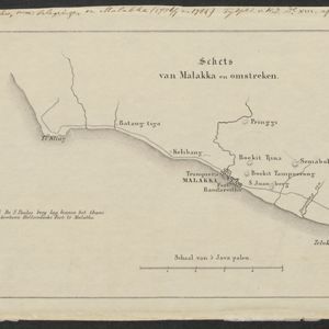
- [remove]Malaysia6
- Brunei4
- East Timor4
- Indonesia4
- Singapore4
- Philippines2
- [remove]Malacca6
- [remove]Malay Peninsula6
- Borneo4
- Celebes4
- Dutch East Indies4
- East Indies4
- Java4
- Maluku Islands4
- Melaka4
- Sulawesi4
- Sumatra4
- Western New Guinea4
- more Detailed Location »
- [remove]Contour Lines/Elevation6
- Longitude and Latitude4
- Scale2


