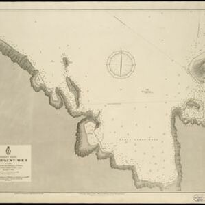
Search Results
- Filter from 1830 to 1899
- [remove]Dutch122
- French2
- Indonesia122
- Malaysia14
- Singapore10
- East Timor8
- Brunei7
- Myanmar6
- Cambodia5
- Laos5
- Philippines5
- Southeast Asia5
- Thailand5
- Vietnam5
- more Simple Location »
- Dutch East Indies104
- Java40
- Sumatra37
- Borneo23
- Celebes22
- Sulawesi22
- Maluku Islands16
- Java Sea14
- South China Sea13
- Lesser Sunda Islands10
- Malay Peninsula10
- Riau Islands10
- more Detailed Location »
- Kampong/Village59
- Post Office20
- Military Fort15
- Cemetery/Columbarium14
- Military Barracks13
- Temple12
- Hospital9
- Residential Area9
- Church8
- Jail/Prison6
- Public Space5
- Mosque4
- Court of Law3
- Communal Land/Property2
- more Settlement Features »
- [remove]Contour Lines/Elevation122
- Longitude and Latitude111
- Scale102
- Compass Rose39
- Written Note/Details36
- Cronenberg, F.41
- Wolff33
- Versteeg, W.F.28
- Melvill van Carnbee, Pieter15
- Böhm11
- Anderson, W.3
- Derfelden van Hinderstein, Gijsbert Franco von3
- Wiemans, F.3
- more Map Maker »
- Van Haren Noman & Kolff42
- Ministerie van Marine, Afdeeling Hydrographie25
- D. Heyse20
- Roeloffzen en Hübner20
- A.J. Bogaerts18
- Topographische Bureau13
- Hydrographische Bureau9
- Topographische Inrichting9
- more Printer/Publisher »
- Batavia67
- The Hague36
- Amsterdam26
- Brussels5
- Breda2
- Haarlem2
- Leiden2
- Banda1
- more Place of Publication »