Search

Search Results

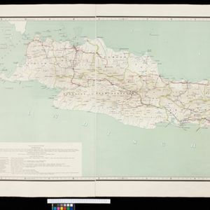
Handelskaart van Java en Madoera

event1898

location_onIndonesia

Map of Java and Madura showing routes, especially for trading purposes, including railways, tramways, roads, ports for steamship services, harbours for different types of imports and exports. A list of train and tram routes is included.

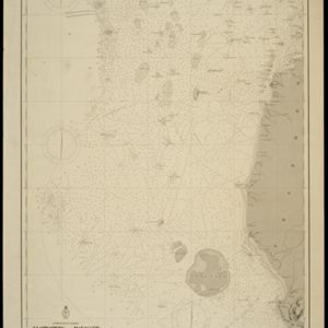
Zuidwestkust Celebes: Vaarwaters naar Makasser

event1897

location_onIndonesia

Navigation map of the southwest coast of Celebes (Sulawesi), near Makassar. Bathymetry (sea depth), lighthouses (in red and yellow, with circles to show the extent of their range), shoals and other obstructions are marked.

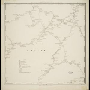
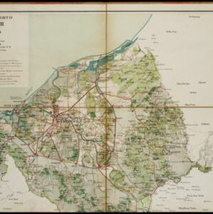
Kaart van het gebied bezet in Groot-Atjeh, met de nederzettingen Lepoeng en Lehoeng

event1897

location_onIndonesia

A map of Groot-Atjeh, Lepoeng and Lehoeng, at the northern tip of Sumatra, detailing routes (rivers, roads, railways), crops (rice, banana, sugarcane, betel, pepper, alang-alang, bamboo) and land features (forests, mountains, wetlands).
Residentie Wester-afdeeling van Borneo

event1897

location_onIndonesia

A series of maps of rivers and paths in western Borneo, featuring mountains with their heights, jungles, wetlands and crops (coconut, bamboo, alang-alang, nipa palm). Only four sheets are available.

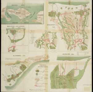
Expeditiën naar Bali in 1846, -48, -49 en -68

event1897

location_onIndonesia

Map of Bali, with five inset maps showing locations of Dutch military interventions on the island from 1846 to 1868. Troop positions and Balinese defences—barricades, moats—are marked, along with terrain, roads, palaces, temples and villages.

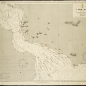
Straat Banka: Zuidblad

event1897

location_onIndonesia

Navigation map of the southern part of the Bangka Strait between Sumatra and Bangka Island. Bathymetry (sea depth), lighthouses, reefs, shoals and other obstructions (clay, coral, mud, stones, sand) are marked.

Kaart van het eiland Lombok

event1897

location_onIndonesia

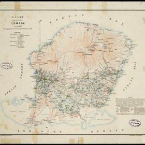
Topographic map of the island of Lombok in the Lesser Sunda Islands, with terrain shown by contour lines. Administrative districts, villages, routes, forests and crops (rice, coconut, coffee, banana, alang-alang, bamboo, Javanese pine) are marked.

Kaart van midden Lombok

event1897

location_onIndonesia

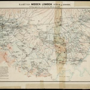
Map of southern Lombok in the Lesser Sunda Islands, including the capital city Mataram, other settlements, routes and crops/plantations—rice, coconut, tea, coffee, banana, alang-alang, bamboo, arenga palm—with more mountainous regions to the north.

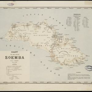
Kaart van het eiland Soemba

event1897

location_onIndonesia

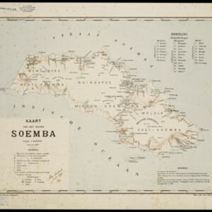
Map of Soemba (Sumba) in the Lesser Sunda Islands, divided into three departments and 26 districts. Mountains, rivers, anchor points, shoals and reefs are marked around the coasts. Much of the interior of the island is left blank.

Kaart van het Eiland Bali

event1897

location_onIndonesia

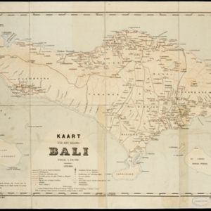
Bali under Dutch colonial rule is shown here divided into eight regencies (administrative divisions). Contour lines indicate elevation, with the heights of some mountains noted. Shoals, reefs and sandbanks are marked around the coast.

Kaart van het eiland Soemba

event1897

location_onIndonesia

Map of Soemba (Sumba) in the Lesser Sunda Islands, divided into three departments and 26 districts. Mountains, rivers, anchor points, shoals and reefs are marked around the coasts. Much of the interior of the island is left blank.

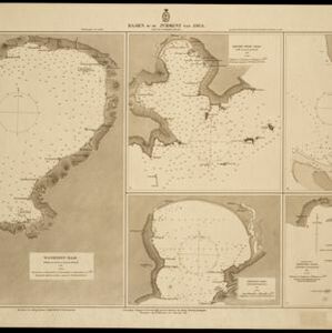
Baaien op de Zuidkust van Java

event1897

location_onIndonesia

Five maps of bays of Java, including bathymetry (sea depth), anchor points, coastal hills, tide data, reefs and shoals. Obstructions in the water are marked ‘gr’ (rough), ‘h’ (hard), ‘k’ (clay), ‘kr’ (coral), ‘m’ (mud), ‘st’ (stones), and ‘z’ (sand).

close