Search Results

Map of the Kingdom of Siam and its dependencies
c.1900
Myanmar, Malaysia, Singapore, Thailand, Laos, Cambodia, Vietnam
The border of the Kingdom of Siam (Thailand) and its internal administrative districts are highlighted in yellow. Inset maps show the cities of Bangkok, Chiengmai (Chiang Mai) and Luang Pra Bang (Luang Prabang) in more detail.

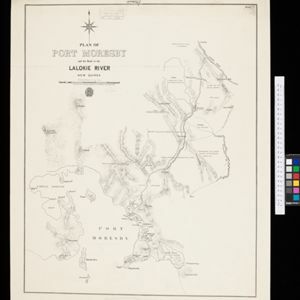
Plan of Port Moresby and the road to the Lolokie River: New Giunea
1887
Papua New Guinea
This map focuses on the capital city of British New Guinea, Port Moresby, and the road heading north-east from the city to the Laloki River. Along the road, there are descriptions of the terrain (‘Open flat fairly grasses timbered with bastard Gum’).

Map of the Malay Peninsula 1879
1879
Malaysia, Singapore, Thailand
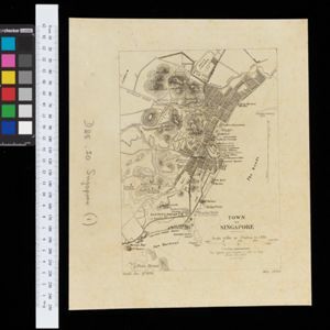
Six-sheet map of the Malay Peninsula, featuring settlements, mountains and rivers. Labels note names of indigenous peoples, or describe terrain/resources. There is an inset map of Singapore town, and the Straits Settlements are highlighted in red.

Map of Prince of Wales' Island or Pulo Penang and province Wellesley
1853
Malaysia
Map of the Penang Strait, including written instructions on how to navigate the strait. On land, areas of cultivation are marked, with a table listing acreage used for each crop. A boundary with Siam based on an 1831 treaty is also shown.
- Filter from 1853 to 1900
- [remove]Contour Lines/Elevation8
- Scale8
- Longitude and Latitude5
- Compass Rose3
- Written Note/Details3
- Intelligence Division, War Office2
- Julius Bien & Co.1
- Royal Asiatic Society, Straits Settlements’ Branch1
- School of Military Engineering, Chatham1
- Stanford's Geographical Establishment1
- Survey of India Offices, Calcutta1
- Surveyor General's Office, Brisbane1
- Surveyor General's Office, Calcutta1
- more Printer/Publisher »


