Search Results
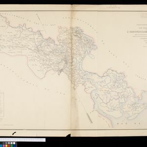
Plan topographique de l'arrondissement de Saigon
1885
Vietnam
Map of the district of Saigon (Ho Chi Minh City, Vietnam), based around the Fleuve Soirap (Soài Rạp River) as it winds its way down to the South China Sea. The city of Saigon is on its banks, surrounded by more rivers, roads, fields and villages.
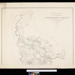
Plan topographique de l'arrondissement de Bien-Hoa
1881
Vietnam
Two-sheet map of the district of Bien-Hoa (Biên Hòa) east of Ho Chi Minh City, Vietnam. The area is dominated by rivers, wetlands and mangroves. Labels describe the terrain e.g. ‘Bois marécageux avec rivières [Swampy woods with rivers]’.
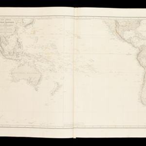
Carte générale de l'Océan Pacifique
1845
Brunei, Cambodia, East Timor, Indonesia, Laos, Malaysia, Myanmar, Papua New Guinea, Philippines, Singapore, Southeast Asia, Thailand, Vietnam
Marine chart of the Pacific Ocean, including Southeast Asia. Small islands, shoals and reefs are marked, and often named, around the seas and straits of the region.
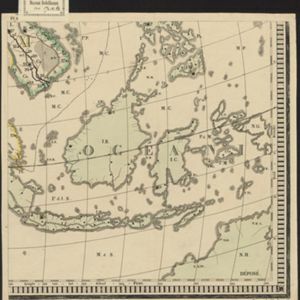
Kaart van Azië ten gebruike der scholen van het Koninkrijk der Nederlanden = Carte d'Asie, a l'usage des maisons d'éducation
1830
Brunei, Cambodia, East Timor, Indonesia, Laos, Malaysia, Myanmar, Philippines, Singapore, Southeast Asia, Thailand, Vietnam
Map of Asia spread over nine sheets, for use in schools. Place names are not printed on the map itself, but are represented by initials and numbers (presumably, there is a legend that lists the names, but it is not present).
- Filter from 1775 to 1899
- [remove]Contour Lines/Elevation8
- Scale6
- Longitude and Latitude5
- Compass Rose1
- Rhumbline Network1
- Written Note/Details1


