Search

Search Results

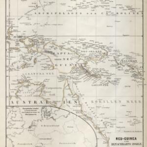
Neu-Guinea und benachbarte Inseln

event1869

location_onPapua New Guinea, Indonesia

From August Petermann's ‘Geographische Mittheilungen’, this map of New Guinea and neighbouring islands is marked with a maritime route from the western tip of New Guinea that is labelled ‘from Batavia to Hong Kong in 35 days’ and dated 1846.

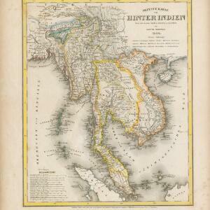
Neueste Karte von Hinter Indien

event1860

location_onCambodia, Laos, Malaysia, Myanmar, Singapore, Thailand, Vietnam

The borders on this mid-19th century map of mainland Southeast Asia are colour-coded to show kingdoms, countries and colonial territories. Twelve different scales are shown, as different countries used different measurement systems.

Skizzirte charte von der insel Celebes

event1812

location_onIndonesia

This early 19th century map of Celebes (Sulawesi) is labelled with the names of local tribes (‘stamm’), including a rich tribe (‘reicher stamm’). The locations of two gold mines are marked, along with major settlements.

close

  • Filter from 1812 to 1869

Current results range from 1812 to 1869