Search Results
Filter
Map Attributes
Contour Lines/Elevation
Remove constraint Map Attributes: Contour Lines/Elevation
Detailed Location
British Burma
Remove constraint Detailed Location: British Burma
Printer/Publisher
Survey of India Offices, Calcutta
Remove constraint Printer/Publisher: Survey of India Offices, Calcutta
3 Results found

British Burma, Pegu division: With additions to railways up to 1891
1891
Myanmar
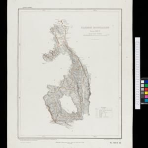
Topographical map of the Pegu Division of British Burma (Myanmar), spread over four sheets. In addition to mountains, forests, rivers and wetlands, rice fields, routes (road, railway, path, telegraph), villages and pagodas are marked.


