Search

Search Results

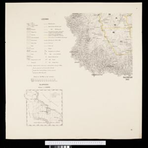
Kaart van de Afdeeling Deli der residentie Oostkust van Sumatra

event1887

location_onIndonesia

A map of the department of Deli, Java, divided into administrative districts, and spread over eight sheets. Rivers, railways, roads and paths, forests and mountains, and crops—rice, coconut, pepper, nutmeg, alang-alang—are marked.

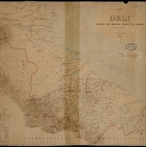
Kaart van Deli: Afdeeling der residentie Oostkusst van Sumatra

event1884

location_onIndonesia

Map of Deli on the east coast of Sumatra, dominated by the numerous rivers that flow from the mountains in the southwest to the Strait of Malacca. The railway lines around the city of Medan are shown in red, and flags indicate a military garrison.

close

  • Filter from 1884 to 1887

Current results range from 1884 to 1887