Search

Search Results

Noordkust Java: Westervaarwater van Soerabaja

event1898

location_onIndonesia

This map of the Madura Strait between Java and Madura is designed to aid navigation: bathymetry (water depth), lighthouses, shoals and reefs, rocks and mud, anchor points, and landmark mountains are all marked. Text describes the tidal conditions.

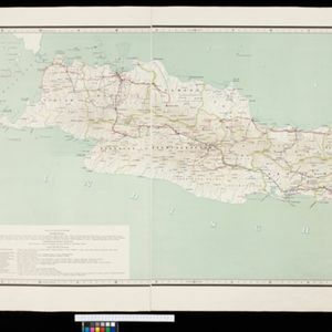
Handelskaart van Java en Madoera

event1898

location_onIndonesia

Map of Java and Madura showing routes, especially for trading purposes, including railways, tramways, roads, ports for steamship services, harbours for different types of imports and exports. A list of train and tram routes is included.

Atlas van Nederlandsch Oost-Indië

eventc.1897-1904

location_onIndonesia

Very detailed atlas of the entire Dutch East Indies, over 16 map sheets, with a cover and overview map. Includes topographic maps, inset maps of cities and islands, and maps featuring land and sea routes, languages, geology, colonial territory etc.

Residentie Soerabaja

event1895

location_onIndonesia

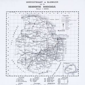
There are 64 sheets of this very large-scale (1:20,000) topographic map of the regency of Soerabaja (East Java). Cities and villages, roads, railways and rivers, crops and many more features are all shown in great detail. First sheet is an overview.

Java

event1894

location_onIndonesia

This detailed late 19th century map shows Java divided into regencies, and features mountains, land and sea routes, and an inset map of the port city of Batavia (Jakarta). It was designed to be folded within book covers so it could be easily carried.

Topographische Kaart der residentie Cheribon

event1894

location_onIndonesia

Six-sheet topographic map of the residency of Cheribon (Cirebon, West Java), with an inset of a geodesic triangle grid. Administrative districts, crops—rice, alang-alang, sugarcane, sugar, coffee, tea—and indigo plant mills are shown.

Trade Routes in the Far East

event1894

location_onBrunei, Cambodia, Indonesia, Laos, Malaysia, Myanmar, Philippines, Singapore, Thailand, Vietnam

Map of stream ship trade routes around Southeast Asia. Rivers, railways, submarine telegraph cables, lighthouses (fixed, revolving and flashing), graving docks and coaling stations are marked. An inset map shows a railway route from Britain to Asia.

Java

event1890

location_onIndonesia

This detailed late 19th century map shows Java divided into regencies, and features mountains, roads, railways, and rivers. There is also an inset map of the port city of Batavia (Jakarta).

[Verzamelkaart van door uitbarsting en vloedgolf verwoeste gebieden]

event1883

location_onIndonesia

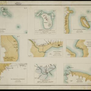
Nine maps of the effects of the 1883 Krakatoa volcanic eruption, including on Rakata Island itself, and Calmeyer Island (formed by the eruption). Other maps use brown shading to show the flooding of nearby islands and settlements by ensuing tsunamis.

Etappe-kaart van Java en Madoera

event1878

location_onIndonesia

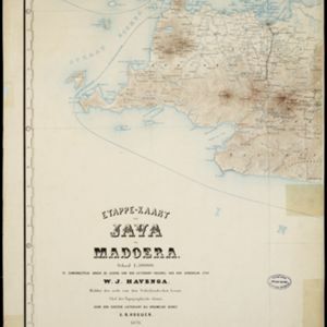
This detailed map of Java and Madura covers four sheets, showing natural features (mountains, lakes, rivers, bays), residential areas (cities, towns, villages) and routes (railways, roads, sea routes). An inset map shows telegraph lines and offices.

Topographische kaart der residentie Cheribon

event1877

location_onIndonesia

Six-sheet topographic map of the residency of Cheribon (Cirebon, West Java), with an inset of a geodesic triangle grid. Administrative districts, crops—rice, alang-alang, sugarcane, sugar, coffee, tea—and indigo plant mills are shown.

Western part of the Java Sea : from Lucipara I. to Sunda Strait and Batavia

event1866

location_onIndonesia

Designed to aid navigation around the western Java Sea, this map features bathymetry (sea depth), current and tide data, and is marked with shoals, reefs and other hazards. Written notes add details at specific locations (e.g. ‘heavy tide rips’).

close