A plan of soundings from Pulo Aor to the Southward, and outside of the Reef off Point Romania towards the entrance of Sincapour Strait event1818 location_onMalaysia, Indonesia, Singapore
A plan of soundings from Pulo Aor to the Southward, and outside of the Reef off Point Romania towards the entrance of Sincapour Strait event1818 location_onMalaysia, Indonesia, Singapore
Chart of the East India Islands: exhibiting the several passages between the Indian and Pacific Oceans event1824 location_onBrunei, Cambodia, East Timor, Indonesia, Malaysia, Philippines, Singapore, Thailand, Vietnam, Southeast Asia, Myanmar
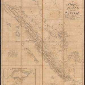
Map of the island of Sumatra constructed chiefly from surveys taken by order of the late Sir Thos. Stamford Raffles event1829 location_onIndonesia, Malaysia, Singapore
Algemeene kaart van Nederlandsch Oostindie eventc.1839-1855 location_onEast Timor, Indonesia, Malaysia, Singapore
Algemeene Kaart van Nederlandsch Oostindie event1842 location_onEast Timor, Indonesia, Malaysia, Singapore