Search

Search Results

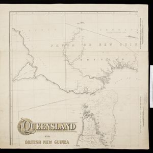
Queensland and British New Guinea

event1897

location_onIndonesia, Papua New Guinea

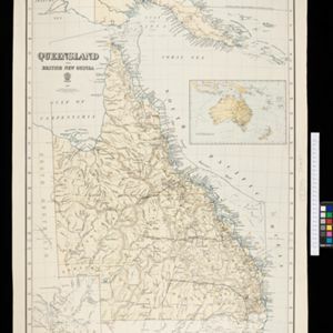
New Guinea is divided between British, German and Dutch colonial powers on this map of New Guinea and Australia. There is a line marking the boundary between the British and German spheres of influence. Bays and islands around the coast are named.

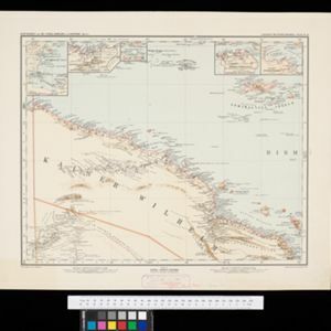
Kaiser Wilhelms-Land: Das Hinterland der Astrolabe-Bucht bis zum Ramu-Fluss

event1896

location_onPapua New Guinea

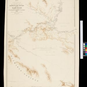
Map of part of the north coast of Kaiser-Wilhelmsland (German New Guinea) spread over two sheets. It focuses on rivers, noting width, depth, temperature, currents, vegetation etc.; and on mountains, showing heights and side views (elevations).

Queensland & British New Guinea

eventc.1894-1897

location_onIndonesia, Papua New Guinea

The first two sheets of this eight-sheet map focus on British New Guinea, with German and Dutch colonial areas of New Guinea also shown in part. There is a line marking a proposed change in border between Dutch and British territory.

Schutzgebiet der Neu-Guinea-Kompanie

eventc.1892-1893

location_onIndonesia, Papua New Guinea

Very detailed six-sheet map of eastern New Guinea, with numerous inset maps of bays and islands, and other inset maps covering ethnography, explorers of the region, marine routes across the Pacific Ocean, cannibalism, missionaries activity etc.

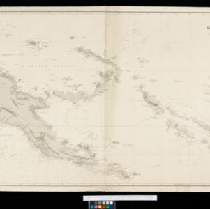
Kaiser Wilhelms Land, Bismarck Archipel und Salomon Inseln

event1891

location_onPapua New Guinea

Navigation map of Kaiser-Wilhelmsland, in German New Guinea. It features bathymetry (sea depth), reefs and shoals, lighthouses (coloured red and yellow) and landmark mountains. A boundary divides German and British colonial territories on New Guinea.

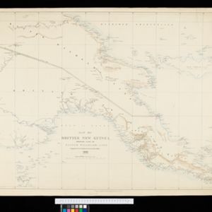
Map of British New Guinea shewing part of Kaiser Wilhelms-Land

event1890

location_onPapua New Guinea, Indonesia

Map of British New Guinea showing the boundary with Kaiser-Wilhelmsland (German New Guinea) as agreed on 6th April 1886. The boundary with Dutch New Guinea is also marked. Most detail is around the coast, with the interior left mainly blank.

Map of part of south-east New Guinea embracing its northern and southern waters

event1889

location_onPapua New Guinea

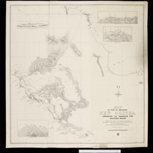
This map focuses on the southern coast including the capital Port Moresby, with the northern regions left mostly blank. There are four inset drawings of side views of mountains (elevations), and the border with German New Guinea is marked.

close

  • Filter from 1889 to 1897

Current results range from 1889 to 1897