
Search Results
Filter
Map Attributes
Contour Lines/Elevation
Remove constraint Map Attributes: Contour Lines/Elevation
Printer/Publisher
Survey of India Offices, Calcutta
Remove constraint Printer/Publisher: Survey of India Offices, Calcutta
Political Regions
District/Administrative Border
Remove constraint Political Regions: District/Administrative Border
15 Results found


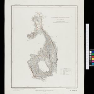


Map to accompany preliminary report on the Chin-Lushai Country
1892
Myanmar
Topographical map of the mountainous border region between India and northwest Burma (Myanmar), showing rivers, lakes, villages, towns, roads and railways. High points are marked with their heights so they can be used for triangulation.
- [remove]District/Administrative Border15
- National Border8
- Colonial Possessions2
- [remove]Contour Lines/Elevation15
- Longitude and Latitude15
- Scale15
- Written Note/Details6
- [remove]Survey of India Offices, Calcutta15
- Intelligence Branch, War Office1
- Surveyor General's Office, Calcutta1


