Search

Search Results

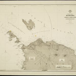
Noordwestkust Sumatra: Van Roesa to de Bocht van Pedir

event1893

location_onIndonesia

A navigation map of the northern tip of Sumatra, featuring bathymetry (sea depth), reefs, shoals, and side views of landmark mountains (elevations). Lighthouses are highlighted in red and yellow, with lines to indicate the limits of their range.

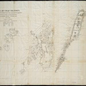
Keij of Ewaf eilanden

event1893

location_onIndonesia

Map of the Kai Islands, in the Banda Sea, designed for navigation: it features bathymetry (sea depth), reefs and shoals. Obstructions in the water are marked ‘kr’ (coral), ‘m’ (mud), ‘s’ (shells), ‘st’ (stones), and ‘z’ (sand).

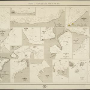
Plannen van ankerplaatsen Kleine Soenda eilanden

event1893

location_onIndonesia

Fifty-seven separate maps of bays, roadsteads—a body of water sheltered from tides/currents—and anchor points around the Lesser Sunda Islands. Landmarks, lighthouses, bathymetry (sea depth), shoals, reefs and other obstructions are marked.

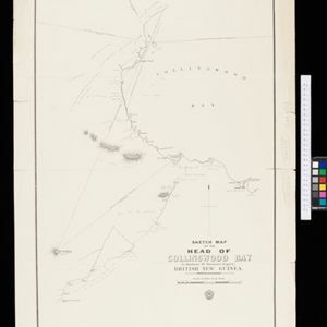
Sketch map of the head of Collingwood Bay

event1892

location_onPapua New Guinea

Map of Collingwood Bay, north coast of New Guinea, with bearings to mountains, bathymetry (sea depth), shoals and reefs. On land, notes on terrain (‘sloping plains’, ‘Stiff clay soil’), vegetation (‘Casuarina trees’) and people (‘FRIENDLY TRIBE’).

Schutzgebiet der Neu-Guinea-Kompanie

eventc.1892-1893

location_onIndonesia, Papua New Guinea

Very detailed six-sheet map of eastern New Guinea, with numerous inset maps of bays and islands, and other inset maps covering ethnography, explorers of the region, marine routes across the Pacific Ocean, cannibalism, missionaries activity etc.

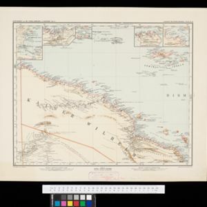
Kaiser Wilhelms Land, Bismarck Archipel und Salomon Inseln

event1891

location_onPapua New Guinea

Navigation map of Kaiser-Wilhelmsland, in German New Guinea. It features bathymetry (sea depth), reefs and shoals, lighthouses (coloured red and yellow) and landmark mountains. A boundary divides German and British colonial territories on New Guinea.

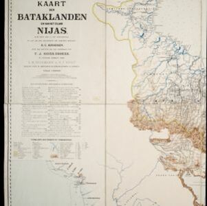
Kaart der Bataklanden en van het eiland Nijas

event1890

location_onIndonesia

A large-scale map of northern Sumatra, spread over 16 sheets, and divided into administrative regions. The island of Nijas (Nias) is marked with the locations of local tribes, and there is a list of other maps referenced in producing the map.

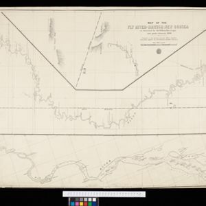
Map of the Fly River, British New Guinea, as traversed by Sir William MacGregor and party

event1890

location_onPapua New Guinea

Three maps on one sheet of the Fly River in British New Guinea, from the mouth to where it meets the Palmer River. Bathymetry (water depth) and sandbanks are marked at the mouth and landmarks—hills, vegetation, villages—are noted along the length.

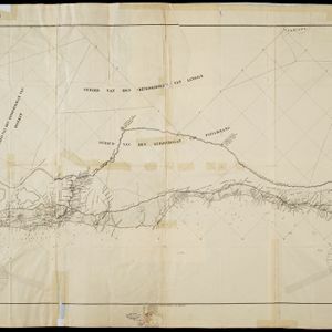
Schetskaart der afdeeling Westkust van Atjeh

event1888

location_onIndonesia

From a Dutch geographical society journal, this map of the west coast of Atjeh (Aceh), Sumatra, shows shoals, reefs, bathymetry (sea depth) and anchor points. On land, there are mountains (with heights), rivers, pepper plantations and rice fields.

Singapore: Plan of harbour and roadstead

event1885

location_onSingapore

Plan of Singapore harbour, with wharfs and buildings. A roadstead—a body of water sheltered from tides/currents, for ships to anchor—is labelled ‘Singapore Road’. Islands, shoals and reefs are marked, as are roads and buildings in the city.

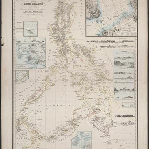
Reduzirte Karte von den Philippinen und den Sulu Inseln

event1884

location_onPhilippines, Malaysia, Indonesia

Maritime map of the Philippines, with inset maps of bays showing bathymetry (sea depth), shoals, reefs and anchor points. There is also an inset map of Taal Volcano, and elevations (side views of terrestrial landmarks like mountains and islands).

close