Search

Search Results

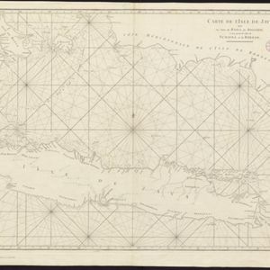
Carte de l'Isle de Java, avec les isles de Banca, de Billiton, et une partie de celles de Sumatra et de Borneo

eventc.1750

location_onIndonesia

This 18th century maritime navigation map charts the waters between the islands of Java, Sumatra and Borneo. A route south towards the Sunda Strait, as taken by the French ship Mascarin in March and April 1772, is highlighted.

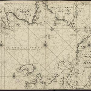
De Straat Sunda in de Oost-Indische Zee tussen de Eylanden Sumatra en Java

eventc.1750

location_onIndonesia

Chart of the Sunda Strait, focusing on bays and islands, and showing bathymetry (sea depth), anchor points, shoals and reefs, landmarks, and a rhumbline network, all to aid navigation. Includes an inset map of the bay of the city of Banten on Java.

Carte de l'Isle de Java, avec les isles de Banca, de Billiton, et une partie de celles de Sumatra et de Borneo

eventc.1750

location_onIndonesia

This 18th century maritime navigation map charts the waters between the islands of Java, Sumatra and Borneo. A route south towards the Sunda Strait, as taken by the French ship Mascarin in March and April 1772, is highlighted.

De Straat Sunda in de Oost-Indische Zee tussen de Eylanden Sumatra en Java

eventc.1750

location_onIndonesia

Chart of the Sunda Strait, focusing on bays and islands, and showing bathymetry (sea depth), anchor points, shoals and reefs, landmarks, and a rhumbline network, all to aid navigation. Includes an inset map of the bay of the city of Banten on Java.

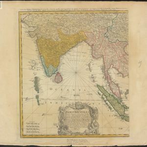
Carte des Indes Orientales: I. feuille

event1748

location_onMyanmar, Cambodia, Indonesia, Laos, Malaysia, Singapore, Thailand, Vietnam

Map featuring the ancient kingdoms of mainland Southeast Asia. The cartouche is embellished with maritime and military paraphernalia. The map is dedicated to William IV, Prince of Orange (Guillaume Charles Henry Friso). Sheet one of two.

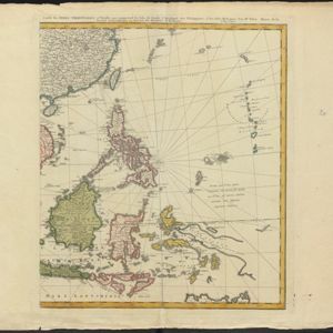
Carte des Indes Orientales: 2de. feuille

event1748

location_onBrunei, East Timor, Indonesia, Malaysia, Philippines, Vietnam

This map features a label noting that the Byayos people inhabited the mountains of central Borneo. Another note at the northeast tip of Borneo states that the location and number of islands in the area is uncertain. Sheet two of two.

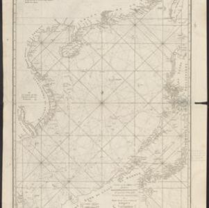
Chart of the China Sea

event1746

location_onBrunei, Cambodia, Indonesia, Malaysia, Philippines, Vietnam

This map features eight expedition routes across the South China Sea from 1752 to 1763. The web of lines is a rhumbline network, and bathymetry (sea depth) is marked. The place names are in French, but with an English title and notes.

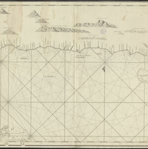
Chart of the North Coast of Java from Samarang to Batavia

event1740

location_onIndonesia

This map uses a variety of methods to aid navigation, including a rhumbline network (a web of lines to help plot routes). The numbers on the sea surface indicate depth (bathymetry), and the drawings of mountains (elevations) were used as landmarks.

Tabula Indiæ Orientalis et regnorum adjacentium

event1724

location_onBrunei, Cambodia, East Timor, Indonesia, Laos, Malaysia, Myanmar, Philippines, Singapore, Southeast Asia, Thailand, Vietnam

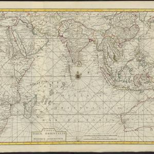
Colourful map of the East Indies focusing on maritime navigation: there is a compass rose at the centre of a rhumbline network (a web of lines to help plot routes). Shoals, reefs and islands are also marked.

close

  • Filter from 1595 to 1818

Current results range from 1595 to 1818